Quick filters:
Map of south Stock Photos and Images
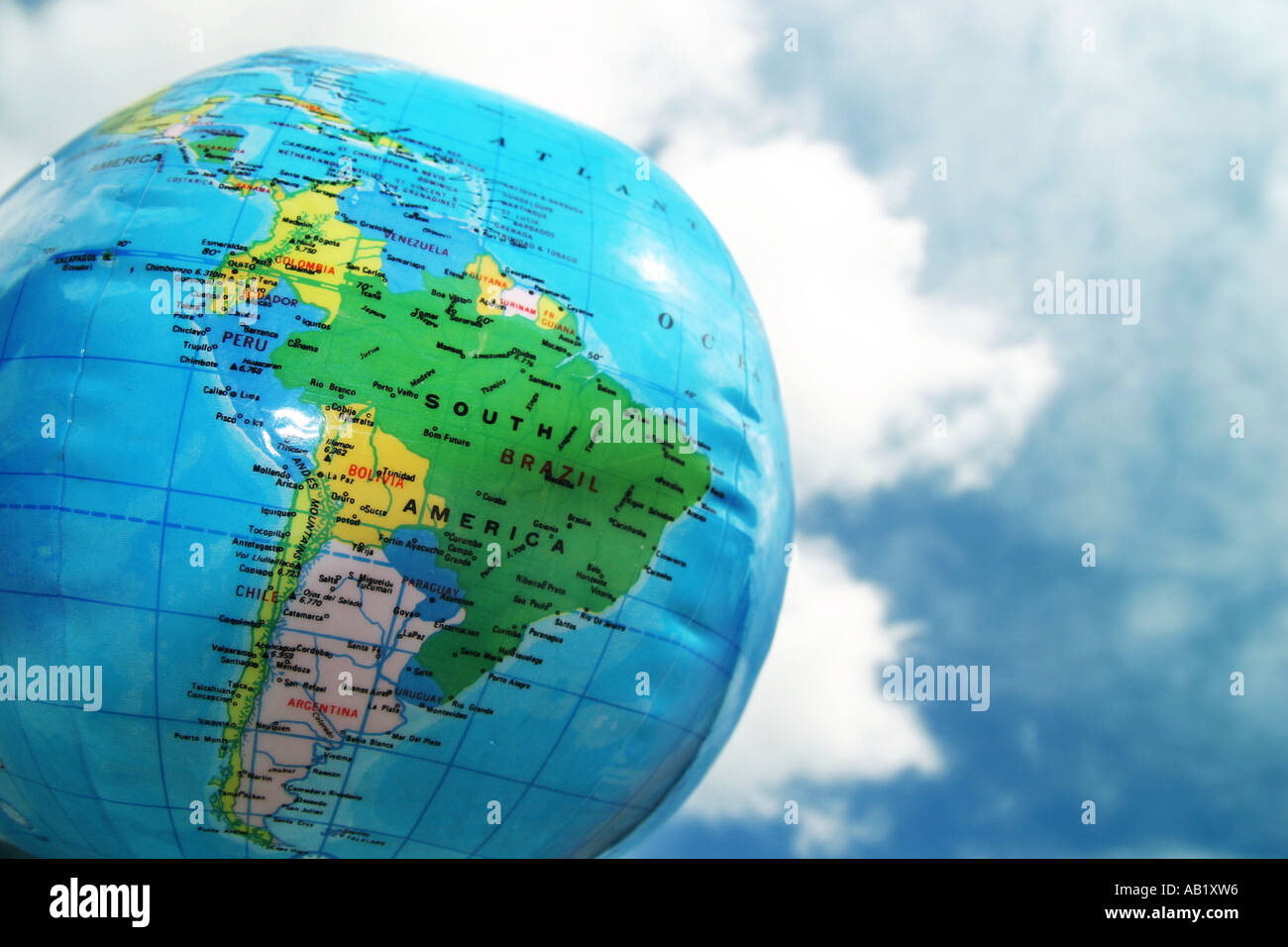 an inflatable globe Stock Photohttps://www.alamy.com/image-license-details/?v=1https://www.alamy.com/an-inflatable-globe-image7286037.html
RFAB1XW6–an inflatable globe
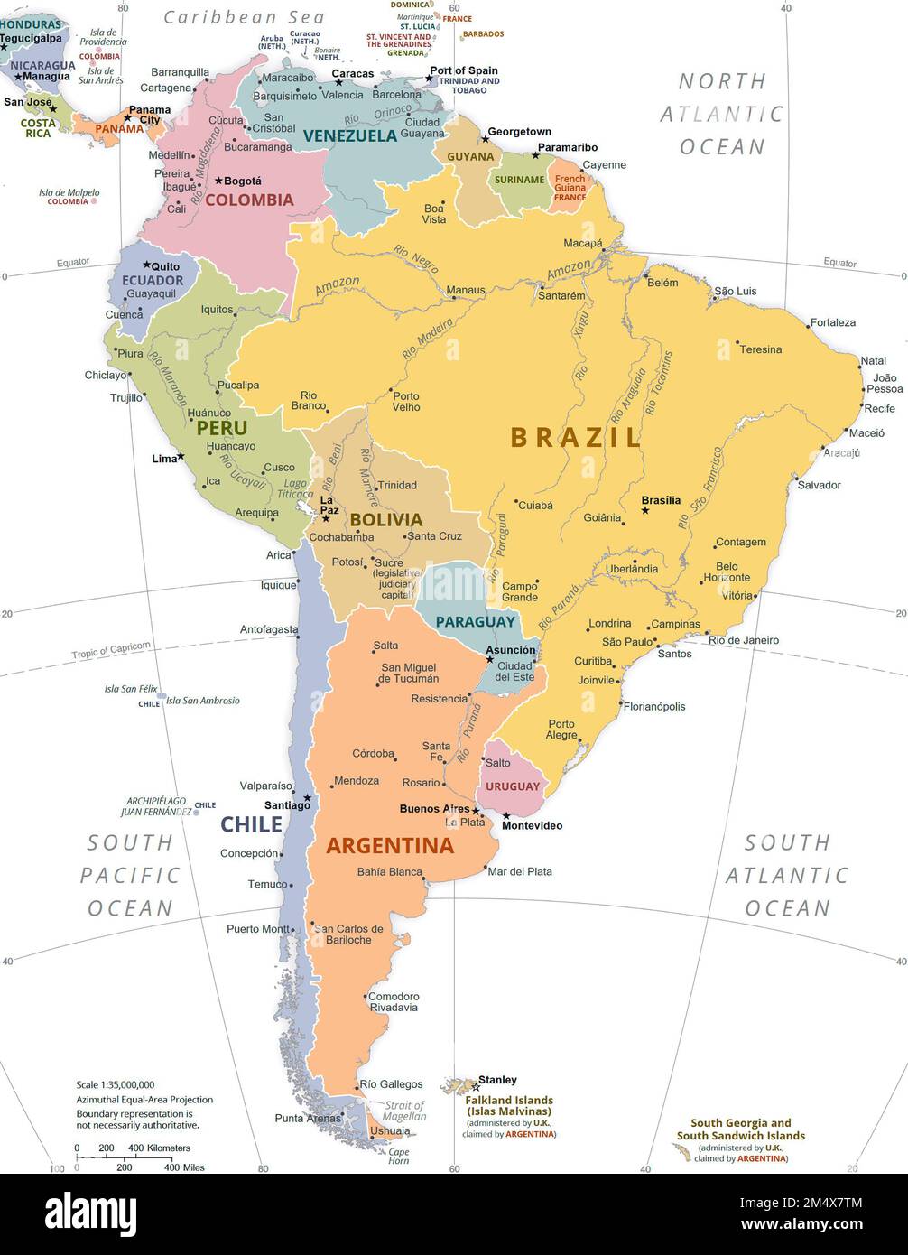 Political Map of South America. Stock Photohttps://www.alamy.com/image-license-details/?v=1https://www.alamy.com/political-map-of-south-america-image502136228.html
RM2M4X7TM–Political Map of South America.
 Map of South Austrailia, 1870s. Color lithograph Stock Photohttps://www.alamy.com/image-license-details/?v=1https://www.alamy.com/stock-photo-map-of-south-austrailia-1870s-color-lithograph-27075596.html
RMBG1B5G–Map of South Austrailia, 1870s. Color lithograph
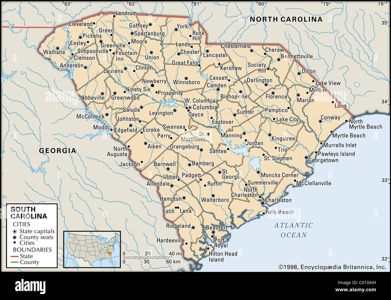 Map of South Carolina Stock Photohttps://www.alamy.com/image-license-details/?v=1https://www.alamy.com/stock-photo-map-of-south-carolina-34455837.html
RMC01GNH–Map of South Carolina
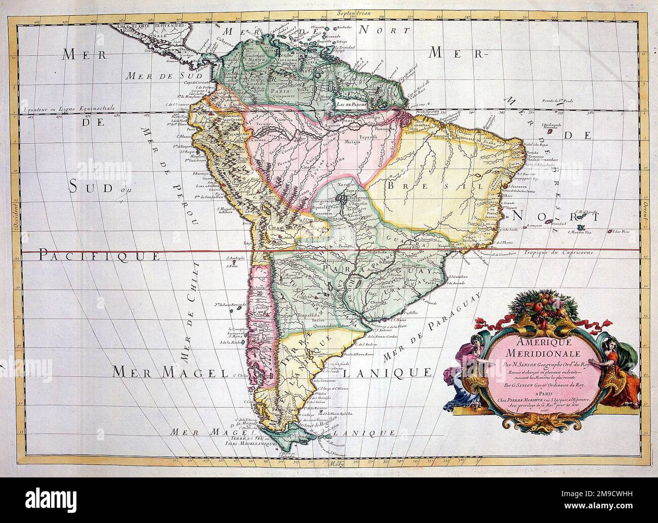 17th century Map of South America Stock Photohttps://www.alamy.com/image-license-details/?v=1https://www.alamy.com/17th-century-map-of-south-america-image504916093.html
RM2M9CWHH–17th century Map of South America
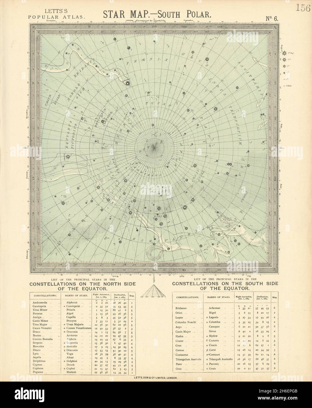 ASTRONOMY CELESTIAL Star map chart South Pole Polar. LETTS 1883 old Stock Photohttps://www.alamy.com/image-license-details/?v=1https://www.alamy.com/astronomy-celestial-star-map-chart-south-pole-polar-letts-1883-old-image451482539.html
RF2H6EPGB–ASTRONOMY CELESTIAL Star map chart South Pole Polar. LETTS 1883 old
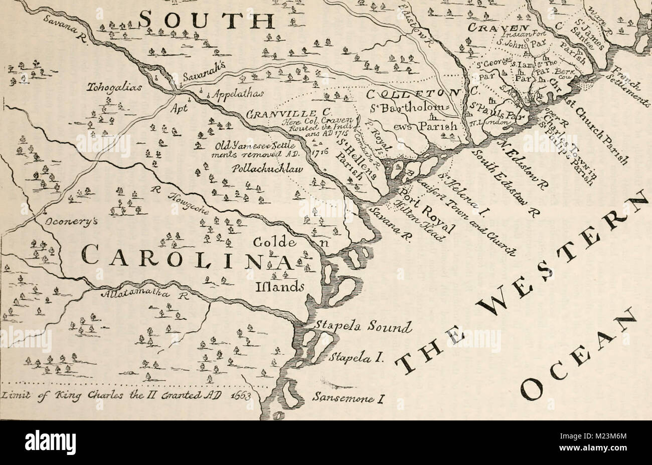 Map of South Carolina in 1730 Stock Photohttps://www.alamy.com/image-license-details/?v=1https://www.alamy.com/stock-photo-map-of-south-carolina-in-1730-173414716.html
RMM23M6M–Map of South Carolina in 1730
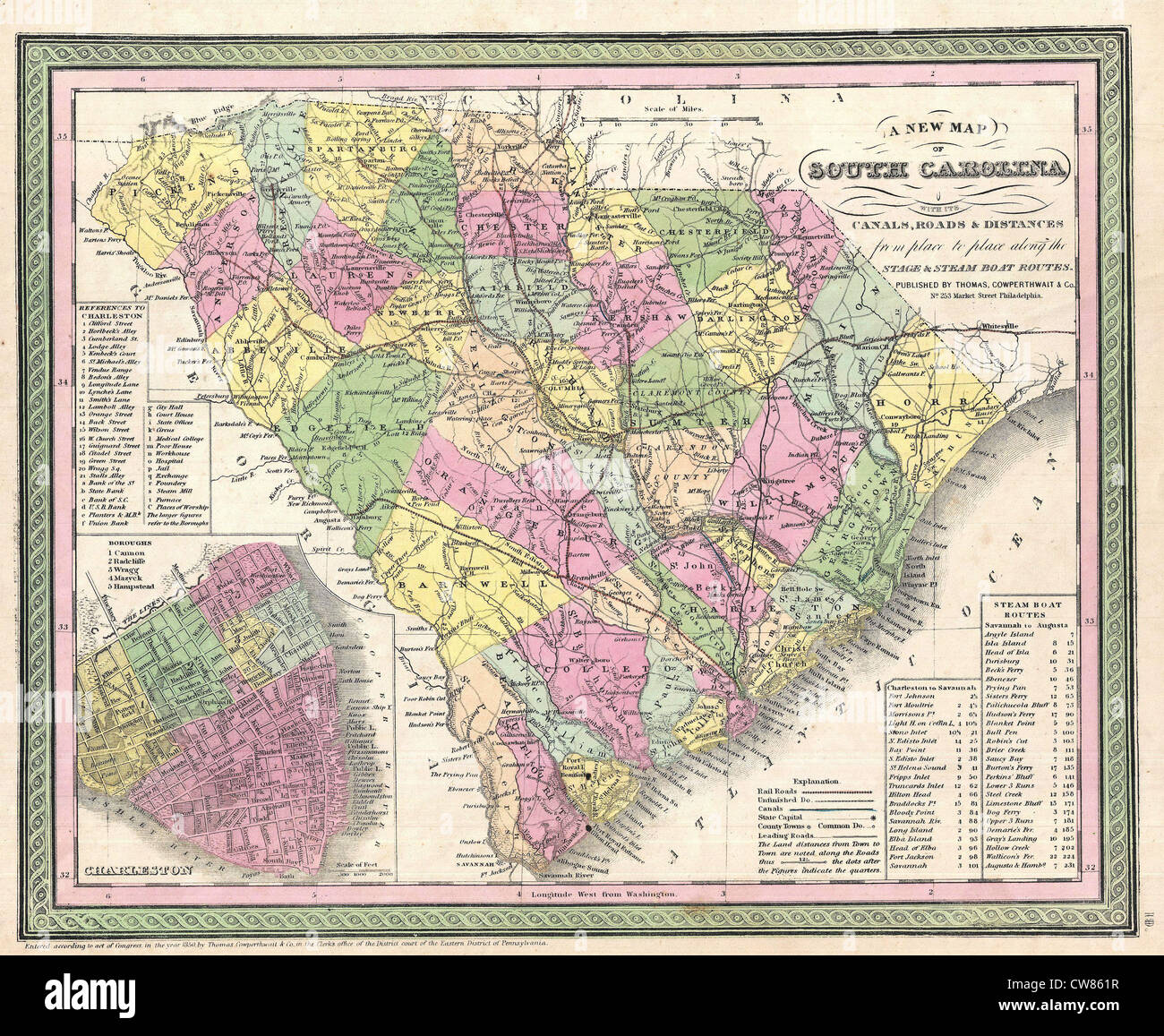 1850 Mitchell Map of South Carolina with Charleston inset Stock Photohttps://www.alamy.com/image-license-details/?v=1https://www.alamy.com/stock-photo-1850-mitchell-map-of-south-carolina-with-charleston-inset-49967507.html
RMCW861R–1850 Mitchell Map of South Carolina with Charleston inset
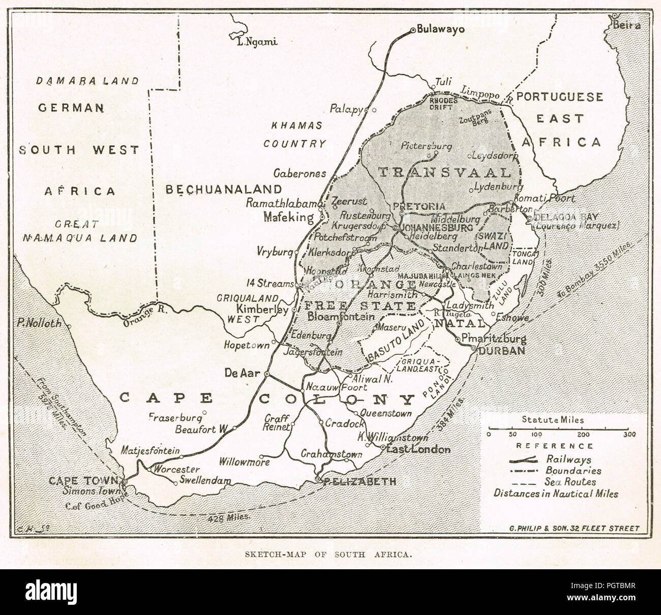 Sketch map of South Africa, Circa 1899. Pre second Boer war Stock Photohttps://www.alamy.com/image-license-details/?v=1https://www.alamy.com/sketch-map-of-south-africa-circa-1899-pre-second-boer-war-image216894967.html
RMPGTBMR–Sketch map of South Africa, Circa 1899. Pre second Boer war
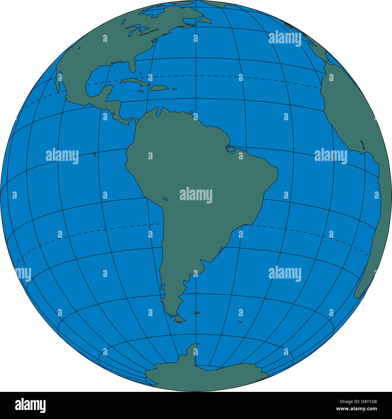 World map globe South America Stock Photohttps://www.alamy.com/image-license-details/?v=1https://www.alamy.com/stock-photo-world-map-globe-south-america-54683672.html
RMD4Y1G8–World map globe South America
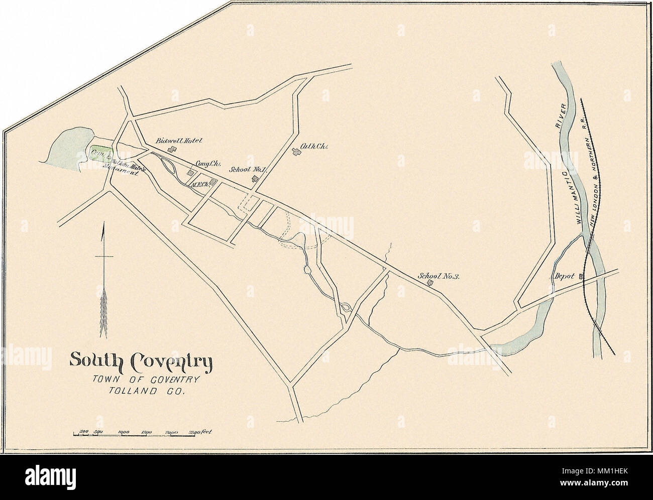 Map of South Coventry. Coventry. 1893 Stock Photohttps://www.alamy.com/image-license-details/?v=1https://www.alamy.com/map-of-south-coventry-coventry-1893-image184432491.html
RMMM1HEK–Map of South Coventry. Coventry. 1893
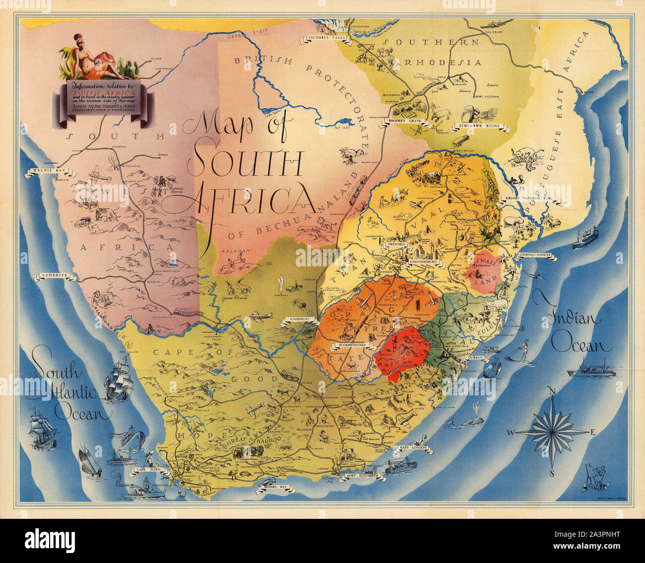 Map Of South Africa 1937 Stock Photohttps://www.alamy.com/image-license-details/?v=1https://www.alamy.com/map-of-south-africa-1937-image329340868.html
RF2A3PNHT–Map Of South Africa 1937
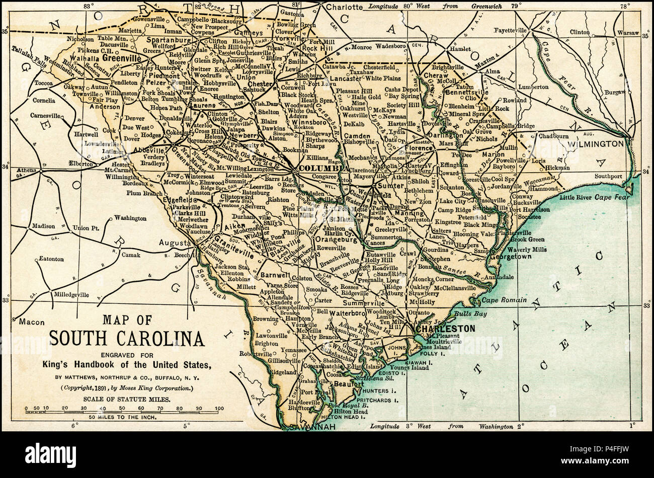 Map of South Carolina from an 1891 guidebook: 'King's Hand-Book of the United States.' Date of Publishing: 1891. Moses King (1853 1909) was an American editor and publisher of travel books. Stock Photohttps://www.alamy.com/image-license-details/?v=1https://www.alamy.com/map-of-south-carolina-from-an-1891-guidebook-kings-hand-book-of-the-united-states-date-of-publishing-1891-moses-king-1853-1909-was-an-american-editor-and-publisher-of-travel-books-image209324609.html
RFP4FFJW–Map of South Carolina from an 1891 guidebook: 'King's Hand-Book of the United States.' Date of Publishing: 1891. Moses King (1853 1909) was an American editor and publisher of travel books.
 Map countries south of Damascus and east of Jordan, 19th century engraving Stock Photohttps://www.alamy.com/image-license-details/?v=1https://www.alamy.com/stock-photo-map-countries-south-of-damascus-and-east-of-jordan-19th-century-engraving-77457428.html
RMEE0DMM–Map countries south of Damascus and east of Jordan, 19th century engraving
 Outline map of Brazil Stock Photohttps://www.alamy.com/image-license-details/?v=1https://www.alamy.com/stock-photo-outline-map-of-brazil-16390864.html
RFATTW0H–Outline map of Brazil
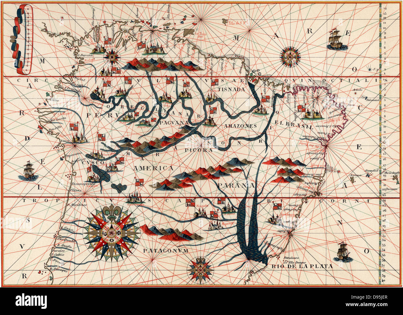 Amazon and the River Plate. From a Spanish map of South America 1582. Stock Photohttps://www.alamy.com/image-license-details/?v=1https://www.alamy.com/stock-photo-amazon-and-the-river-plate-from-a-spanish-map-of-south-america-1582-57287295.html
RMD95JER–Amazon and the River Plate. From a Spanish map of South America 1582.
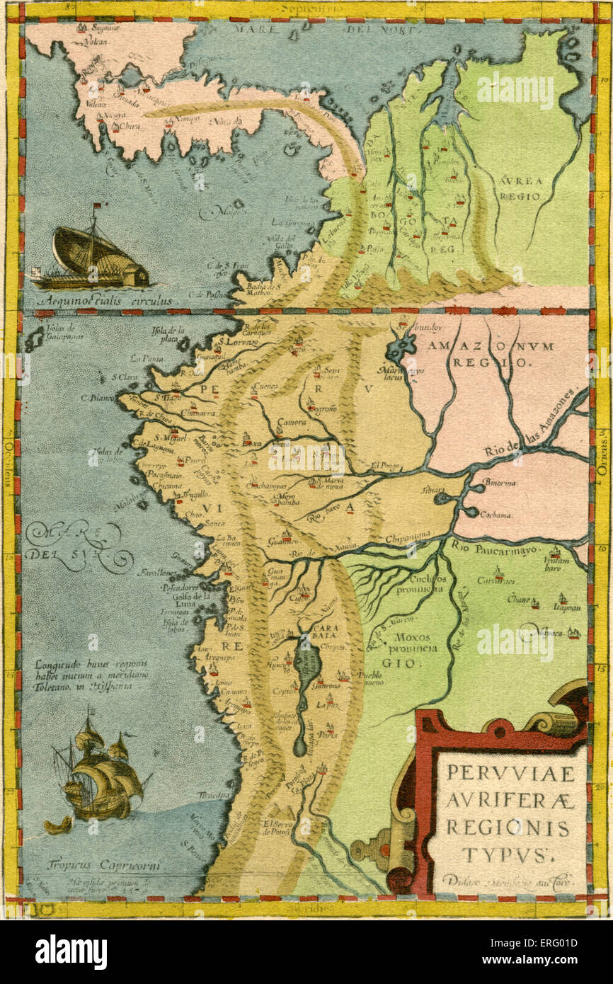 16th century map of South America - indicates amazon region. Heading reads: Peruuiae Auriferae Regionis Typus (thought to be by Stock Photohttps://www.alamy.com/image-license-details/?v=1https://www.alamy.com/stock-photo-16th-century-map-of-south-america-indicates-amazon-region-heading-83329833.html
RMERG01D–16th century map of South America - indicates amazon region. Heading reads: Peruuiae Auriferae Regionis Typus (thought to be by
 Silver Map of South Dakota Stock Photohttps://www.alamy.com/image-license-details/?v=1https://www.alamy.com/silver-map-of-south-dakota-image8320471.html
RFAHXAN8–Silver Map of South Dakota
 map of south africa as infographic in green Stock Vectorhttps://www.alamy.com/image-license-details/?v=1https://www.alamy.com/stock-photo-map-of-south-africa-as-infographic-in-green-146901585.html
RFJEYXD5–map of south africa as infographic in green
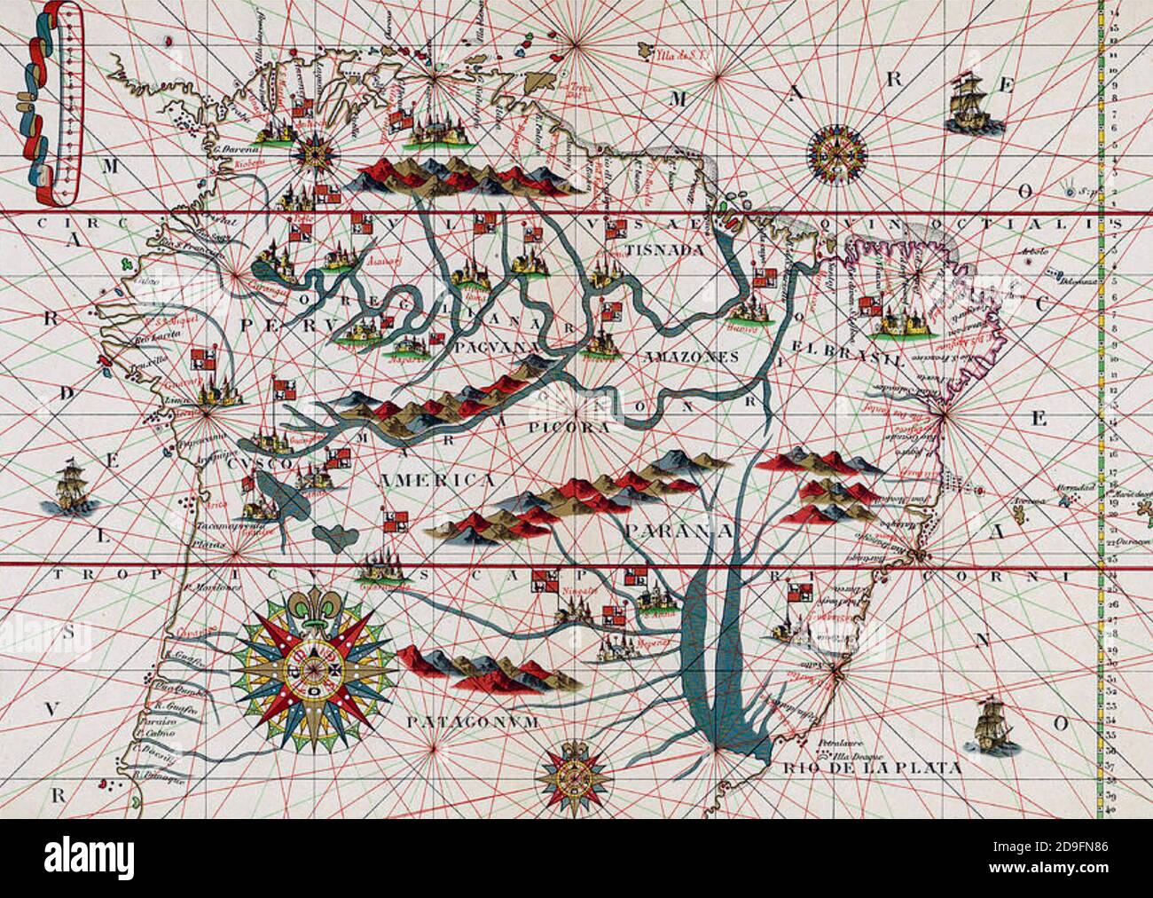 MAP OF SOUTH AMERICA 1582 from a German book published in 1900 Stock Photohttps://www.alamy.com/image-license-details/?v=1https://www.alamy.com/map-of-south-america-1582-from-a-german-book-published-in-1900-image384505974.html
RM2D9FN86–MAP OF SOUTH AMERICA 1582 from a German book published in 1900
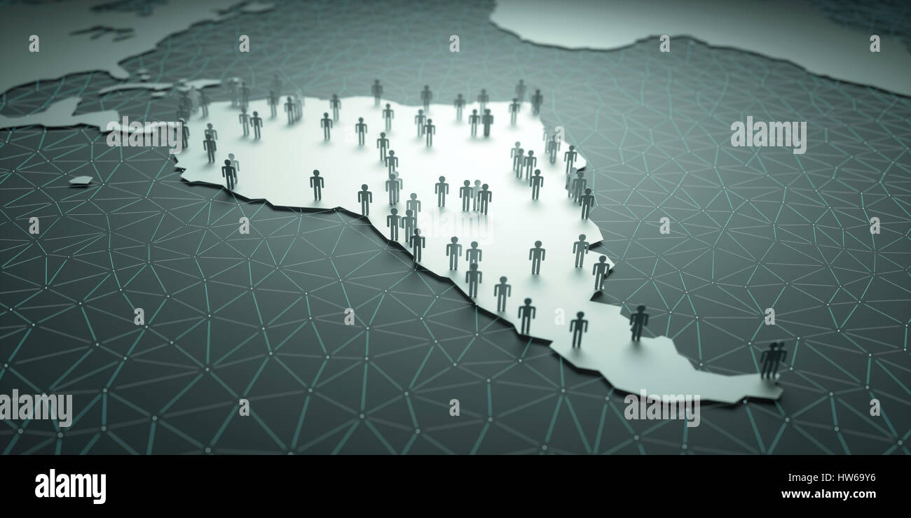 Map of South America, illustration. Stock Photohttps://www.alamy.com/image-license-details/?v=1https://www.alamy.com/stock-photo-map-of-south-america-illustration-135978506.html
RFHW69Y6–Map of South America, illustration.
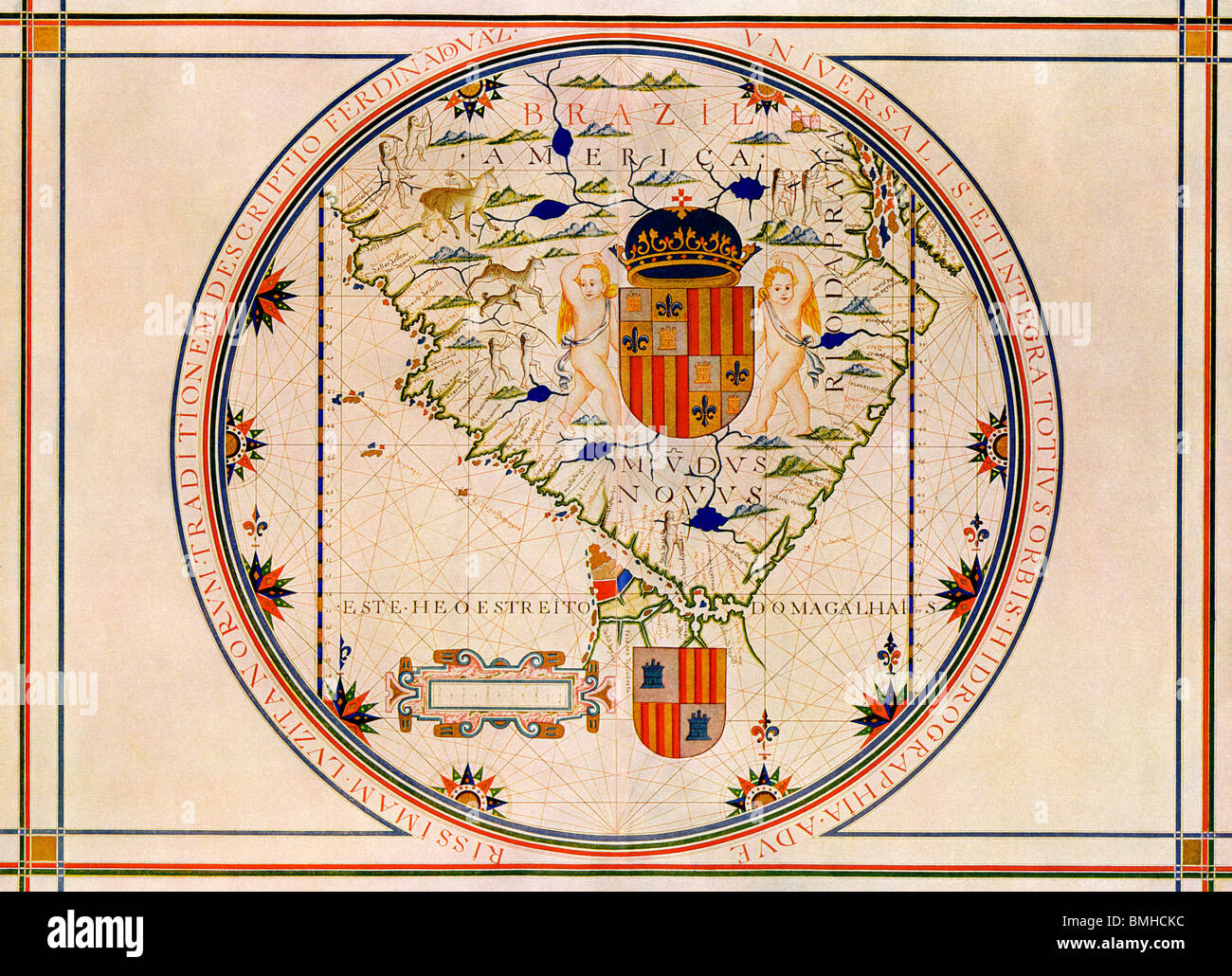 Map of South America printed in Lisbon, 1571. Color lithograph Stock Photohttps://www.alamy.com/image-license-details/?v=1https://www.alamy.com/stock-photo-map-of-south-america-printed-in-lisbon-1571-color-lithograph-29886624.html
RMBMHCKC–Map of South America printed in Lisbon, 1571. Color lithograph
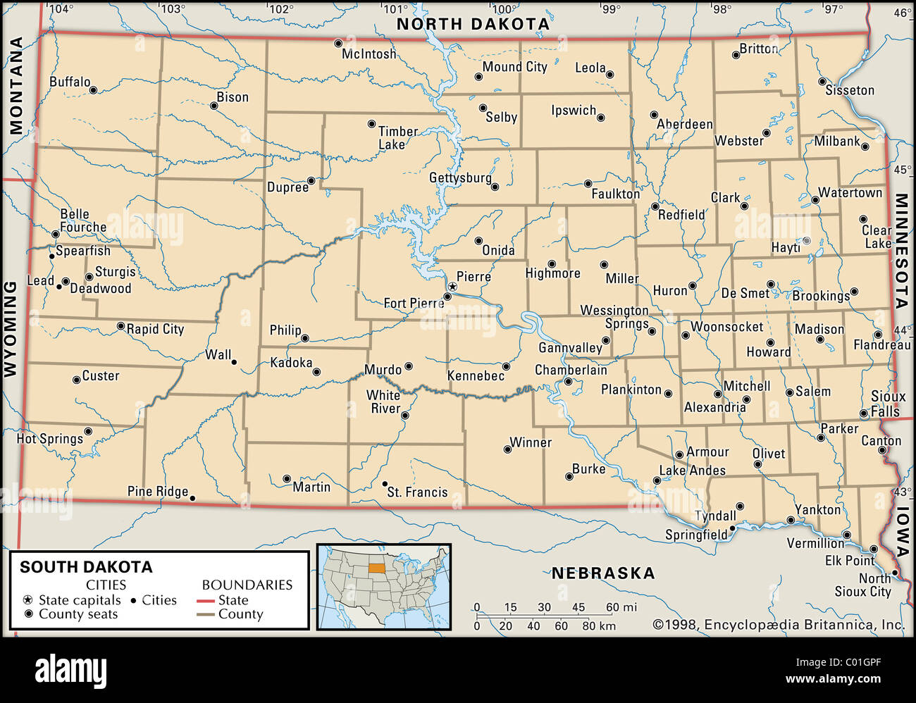 Map of South Dakota Stock Photohttps://www.alamy.com/image-license-details/?v=1https://www.alamy.com/stock-photo-map-of-south-dakota-34455863.html
RMC01GPF–Map of South Dakota
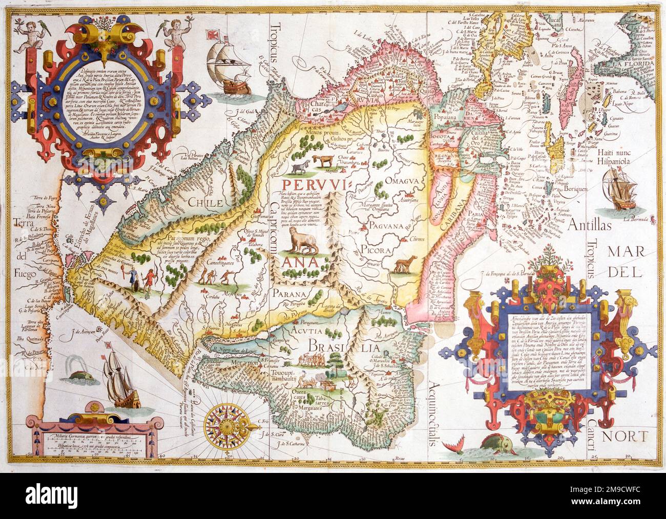 16th century Map of South America Stock Photohttps://www.alamy.com/image-license-details/?v=1https://www.alamy.com/16th-century-map-of-south-america-image504916032.html
RM2M9CWFC–16th century Map of South America
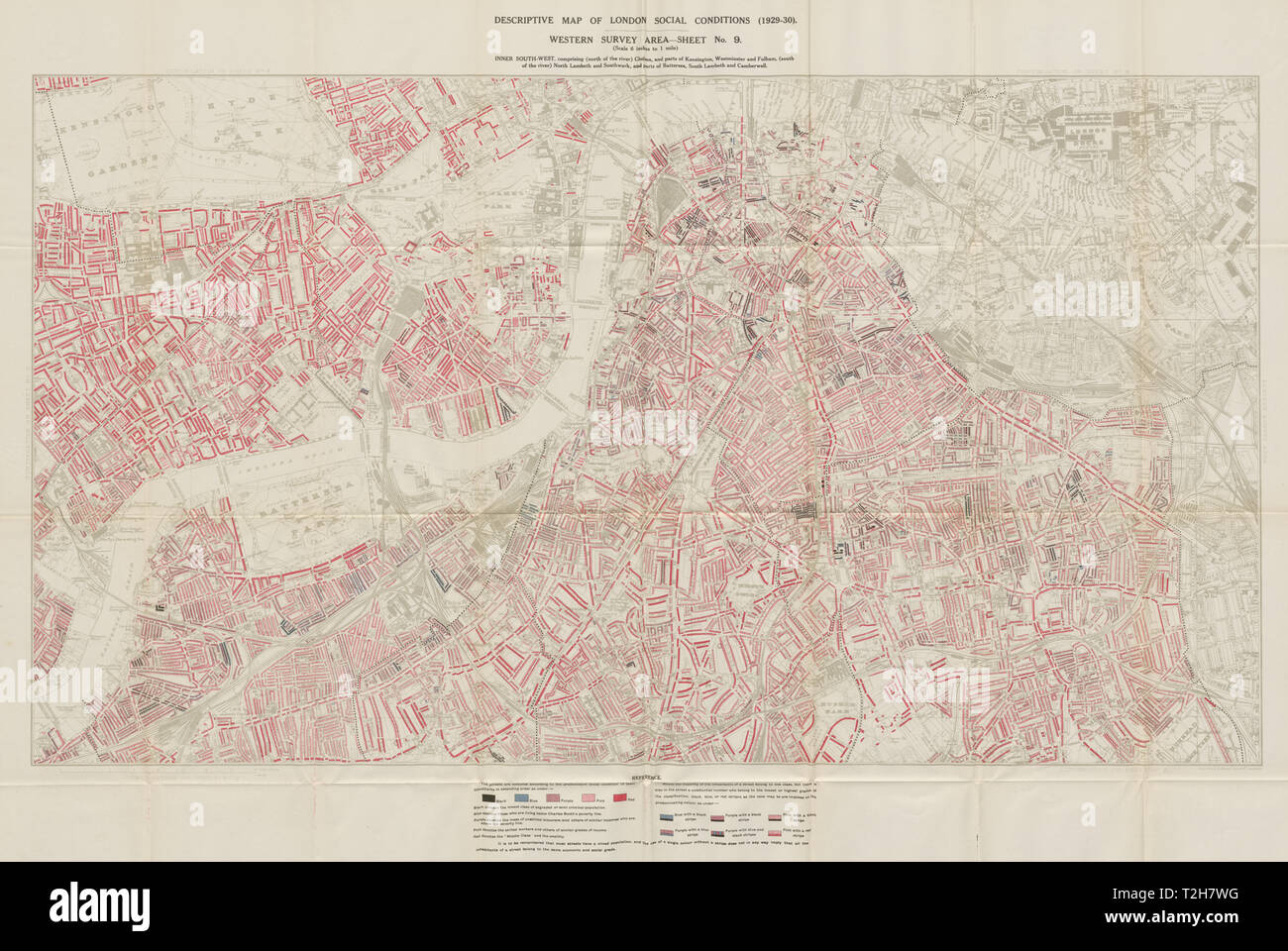 BOOTH / LSE POVERTY MAP Chelsea South Kensington Pimlico Lambeth Battersea 1930 Stock Photohttps://www.alamy.com/image-license-details/?v=1https://www.alamy.com/booth-lse-poverty-map-chelsea-south-kensington-pimlico-lambeth-battersea-1930-image242553852.html
RFT2H7WG–BOOTH / LSE POVERTY MAP Chelsea South Kensington Pimlico Lambeth Battersea 1930
 Map of South Carolina, 1844 Stock Photohttps://www.alamy.com/image-license-details/?v=1https://www.alamy.com/map-of-south-carolina-1844-image246965646.html
RMT9P75J–Map of South Carolina, 1844
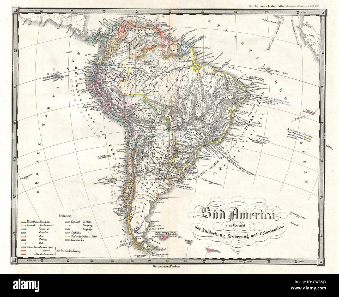 1855 Spruner Map of South America - Overview of Discovery, Conquest and Colonization Stock Photohttps://www.alamy.com/image-license-details/?v=1https://www.alamy.com/stock-photo-1855-spruner-map-of-south-america-overview-of-discovery-conquest-and-49967179.html
RMCW85J3–1855 Spruner Map of South America - Overview of Discovery, Conquest and Colonization
 Ancient map of South African Gold fields (1895) from the book 'The Castle Line atlas of South Africa' : a series of 16 plates, printed in colour, containing 30 maps and diagrams, with an account of the geographical features , the climate, the mineral and other resources, and the history of South Africa. And an index of over 6,000 names Stock Photohttps://www.alamy.com/image-license-details/?v=1https://www.alamy.com/ancient-map-of-south-african-gold-fields-1895-from-the-book-the-castle-line-atlas-of-south-africa-a-series-of-16-plates-printed-in-colour-containing-30-maps-and-diagrams-with-an-account-of-the-geographical-features-the-climate-the-mineral-and-other-resources-and-the-history-of-south-africa-and-an-index-of-over-6000-names-image394467525.html
RF2DWNF9W–Ancient map of South African Gold fields (1895) from the book 'The Castle Line atlas of South Africa' : a series of 16 plates, printed in colour, containing 30 maps and diagrams, with an account of the geographical features , the climate, the mineral and other resources, and the history of South Africa. And an index of over 6,000 names
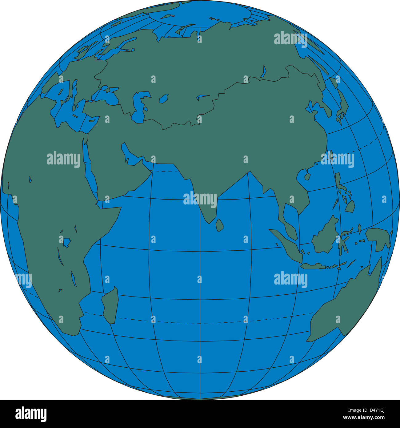 World map globe South Asia Stock Photohttps://www.alamy.com/image-license-details/?v=1https://www.alamy.com/stock-photo-world-map-globe-south-asia-54683682.html
RMD4Y1GJ–World map globe South Asia
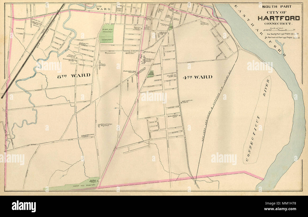 Map of South Part of Hartford. Hartford. 1893 Stock Photohttps://www.alamy.com/image-license-details/?v=1https://www.alamy.com/map-of-south-part-of-hartford-hartford-1893-image184432284.html
RMMM1H78–Map of South Part of Hartford. Hartford. 1893
 Map of South China Sea 1794 Stock Photohttps://www.alamy.com/image-license-details/?v=1https://www.alamy.com/stock-photo-map-of-south-china-sea-1794-131794675.html
RFHJBNCK–Map of South China Sea 1794
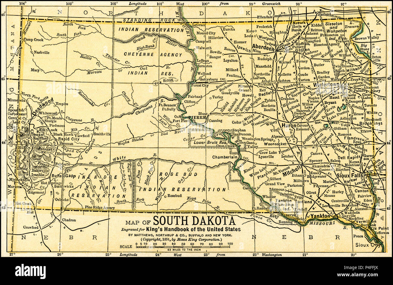 South Dakota Antique Map 1891 Antique Map of South Dakota: From an 1891 guidebook: 'King's Hand-Book of the United States.' Date of Publishing: 1891. Moses King (1853 1909) was an American editor and publisher of travel books. Stock Photohttps://www.alamy.com/image-license-details/?v=1https://www.alamy.com/south-dakota-antique-map-1891-antique-map-of-south-dakota-from-an-1891-guidebook-kings-hand-book-of-the-united-states-date-of-publishing-1891-moses-king-1853-1909-was-an-american-editor-and-publisher-of-travel-books-image209324610.html
RFP4FFJX–South Dakota Antique Map 1891 Antique Map of South Dakota: From an 1891 guidebook: 'King's Hand-Book of the United States.' Date of Publishing: 1891. Moses King (1853 1909) was an American editor and publisher of travel books.
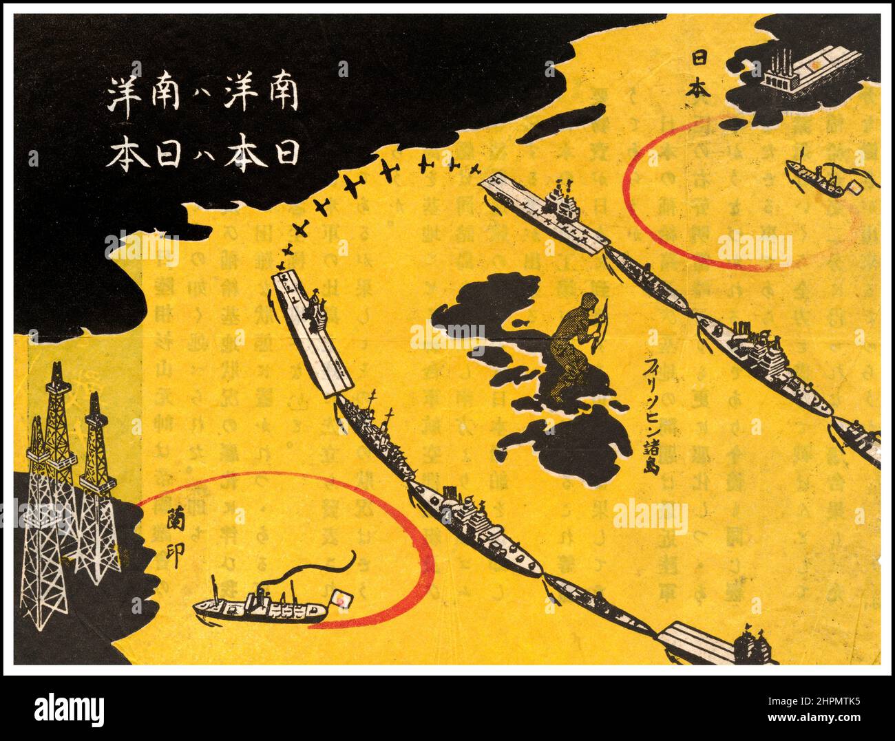 Vintage WW2 USA Propaganda leaflet dropped on Japan. Map produced by the Allied forces for distribution to Japanese soldiers. The title of the map 'The South Pacific is the South Pacific. Japan Is Japan.' The territory on the lower left is 'Netherlands East Indies,' and the land on the upper right is 'Japan.' In between are the Philippines (where Americans had landed) and a solid ring of allied aircraft carriers, submarines and other ships, keeping oil and other vital supplies from reaching Japanese munitions industries. Stock Photohttps://www.alamy.com/image-license-details/?v=1https://www.alamy.com/vintage-ww2-usa-propaganda-leaflet-dropped-on-japan-map-produced-by-the-allied-forces-for-distribution-to-japanese-soldiers-the-title-of-the-map-the-south-pacific-is-the-south-pacific-japan-is-japan-the-territory-on-the-lower-left-is-netherlands-east-indies-and-the-land-on-the-upper-right-is-japan-in-between-are-the-philippines-where-americans-had-landed-and-a-solid-ring-of-allied-aircraft-carriers-submarines-and-other-ships-keeping-oil-and-other-vital-supplies-from-reaching-japanese-munitions-industries-image461450393.html
RM2HPMTK5–Vintage WW2 USA Propaganda leaflet dropped on Japan. Map produced by the Allied forces for distribution to Japanese soldiers. The title of the map 'The South Pacific is the South Pacific. Japan Is Japan.' The territory on the lower left is 'Netherlands East Indies,' and the land on the upper right is 'Japan.' In between are the Philippines (where Americans had landed) and a solid ring of allied aircraft carriers, submarines and other ships, keeping oil and other vital supplies from reaching Japanese munitions industries.
 Outline map of French Guiana Stock Photohttps://www.alamy.com/image-license-details/?v=1https://www.alamy.com/stock-photo-outline-map-of-french-guiana-16389730.html
RFATTNHR–Outline map of French Guiana
 Map of South America and the most popular forms of dance for the different countries. Dated 20th Century Stock Photohttps://www.alamy.com/image-license-details/?v=1https://www.alamy.com/stock-photo-map-of-south-america-and-the-most-popular-forms-of-dance-for-the-different-122880695.html
RMH3WKG7–Map of South America and the most popular forms of dance for the different countries. Dated 20th Century
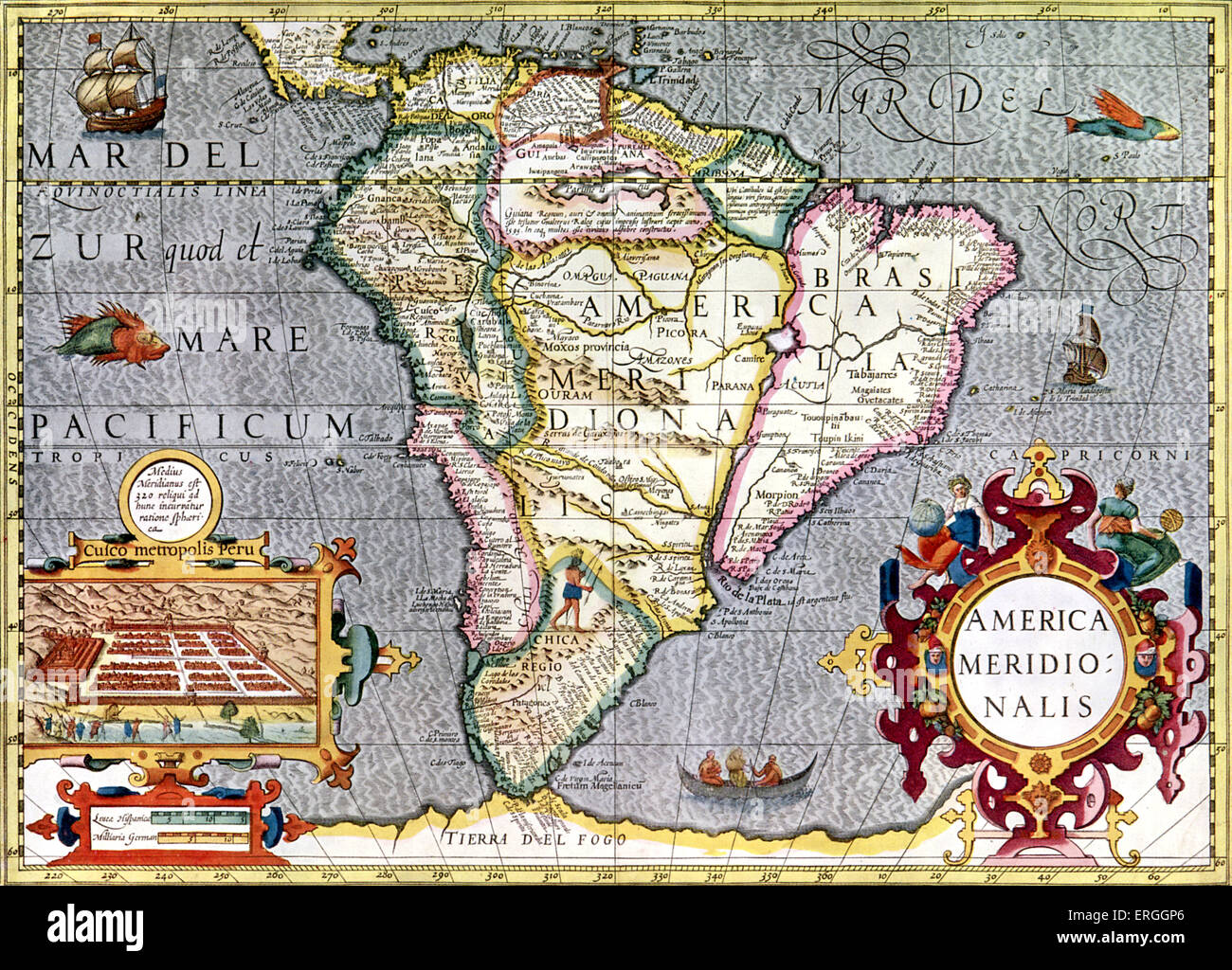 Map of South America published in Mercator's Atlas. Amsterdam, 1633. (Full title: 'Atlas, ou Représenation du Monde Universel Stock Photohttps://www.alamy.com/image-license-details/?v=1https://www.alamy.com/stock-photo-map-of-south-america-published-in-mercators-atlas-amsterdam-1633-full-83342958.html
RMERGGP6–Map of South America published in Mercator's Atlas. Amsterdam, 1633. (Full title: 'Atlas, ou Représenation du Monde Universel
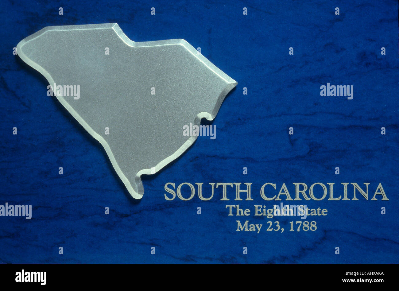 Silver Map of South Carolina Stock Photohttps://www.alamy.com/image-license-details/?v=1https://www.alamy.com/silver-map-of-south-carolina-image8320441.html
RFAHXAKA–Silver Map of South Carolina
 map of south america with capitals in green Stock Vectorhttps://www.alamy.com/image-license-details/?v=1https://www.alamy.com/stock-photo-map-of-south-america-with-capitals-in-green-146901336.html
RFJEYX48–map of south america with capitals in green
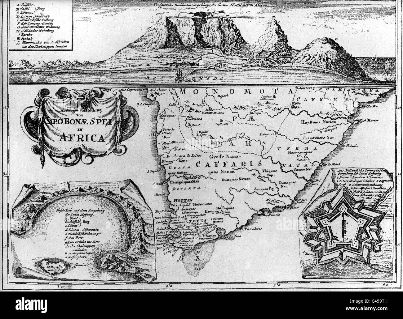 Old map of South Africa Stock Photohttps://www.alamy.com/image-license-details/?v=1https://www.alamy.com/stock-photo-old-map-of-south-africa-36996865.html
RMC459TH–Old map of South Africa
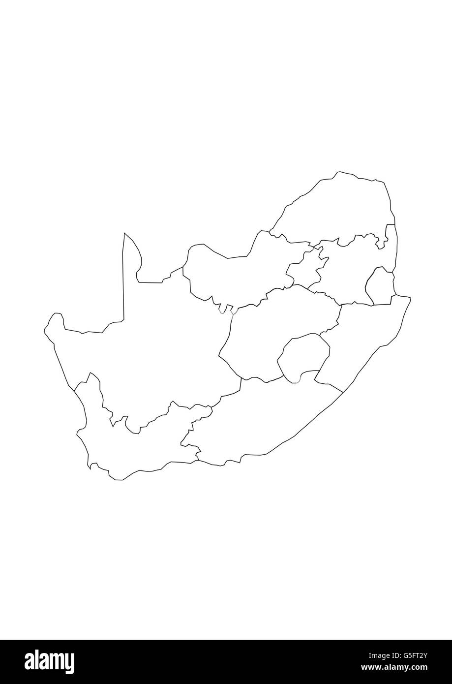 Map of South Africa Stock Photohttps://www.alamy.com/image-license-details/?v=1https://www.alamy.com/stock-photo-map-of-south-africa-106683667.html
RMG5FT2Y–Map of South Africa
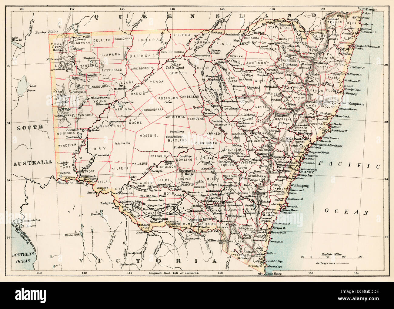 Map of New South Wales, Australia, 1870s. Color lithograph Stock Photohttps://www.alamy.com/image-license-details/?v=1https://www.alamy.com/stock-photo-map-of-new-south-wales-australia-1870s-color-lithograph-27055434.html
RMBG0DDE–Map of New South Wales, Australia, 1870s. Color lithograph
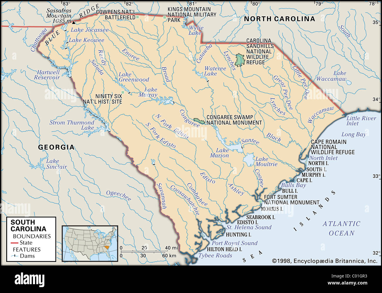
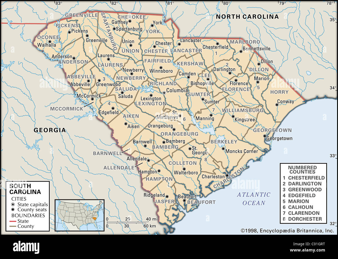 Map of South Carolina Stock Photohttps://www.alamy.com/image-license-details/?v=1https://www.alamy.com/stock-photo-map-of-south-carolina-34455900.html
RMC01GRT–Map of South Carolina
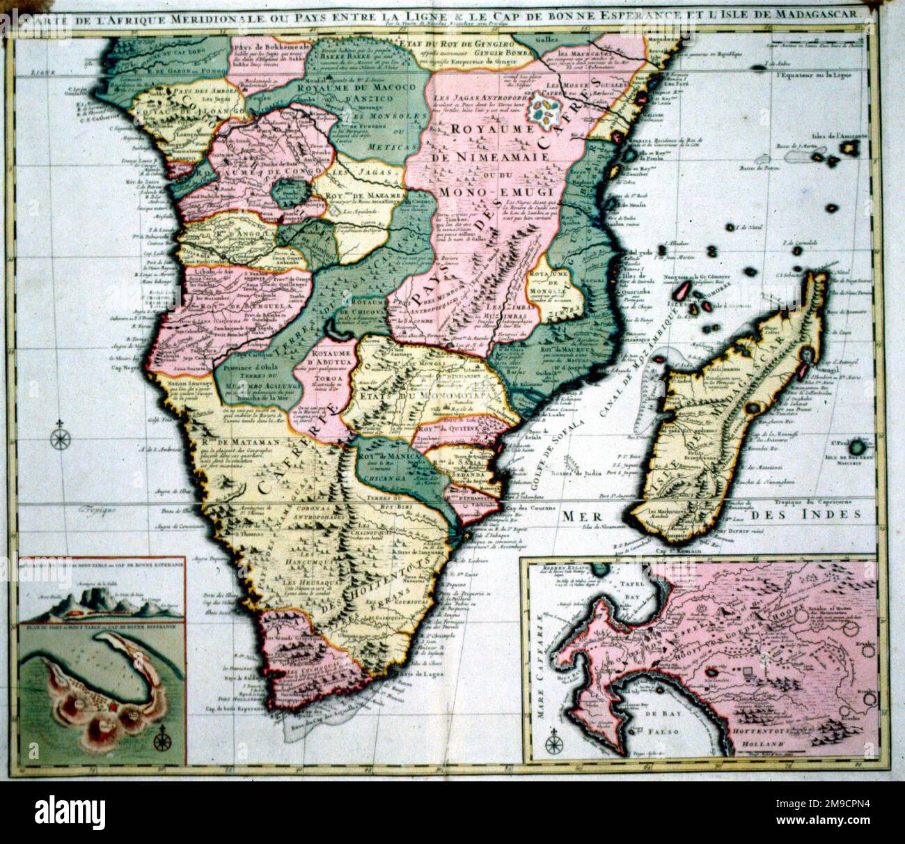 17th century Map of South Africa Stock Photohttps://www.alamy.com/image-license-details/?v=1https://www.alamy.com/17th-century-map-of-south-africa-image504913840.html
RM2M9CPN4–17th century Map of South Africa
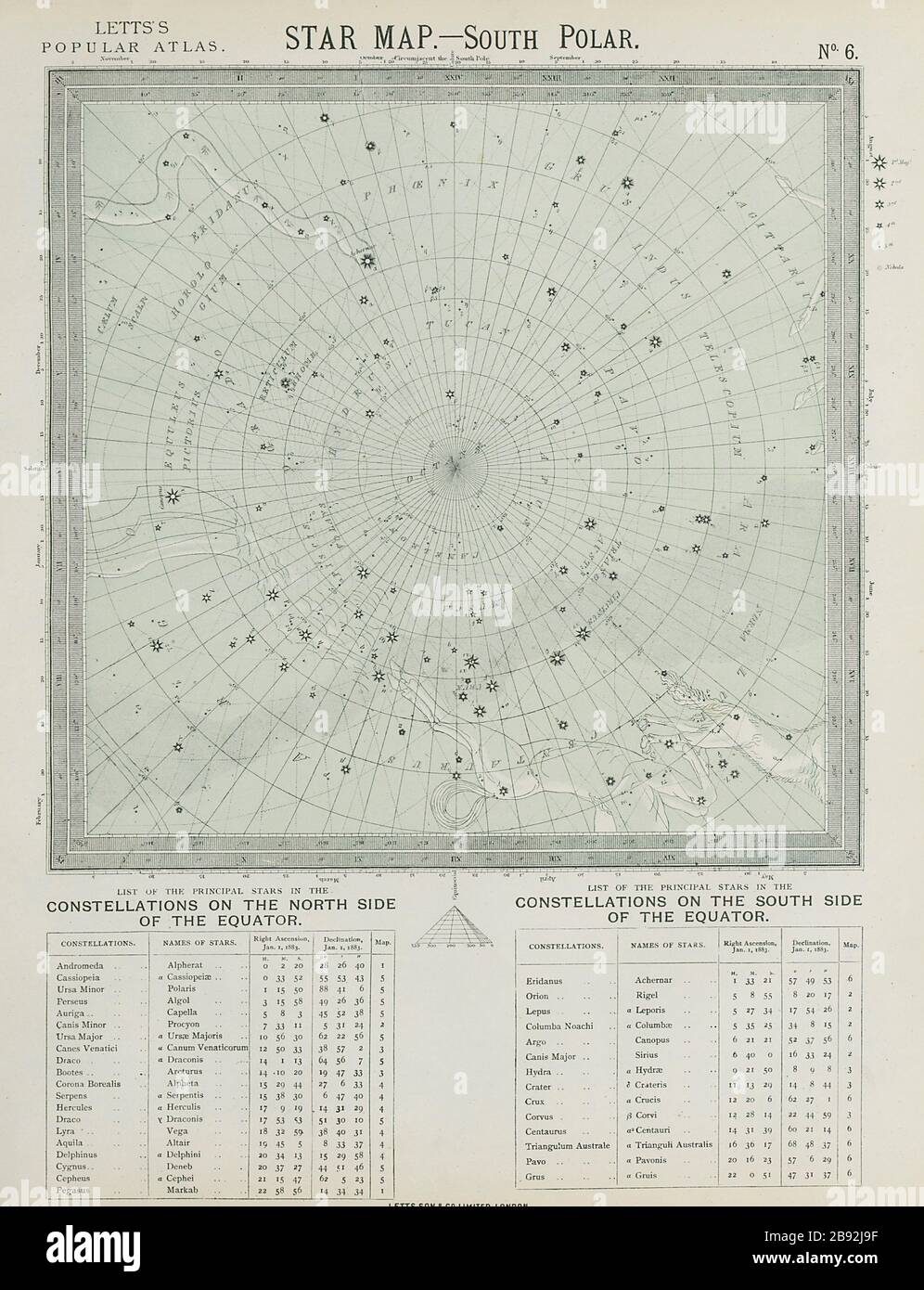 ASTRONOMY CELESTIAL Star map chart South Pole Polar. LETTS 1884 old Stock Photohttps://www.alamy.com/image-license-details/?v=1https://www.alamy.com/astronomy-celestial-star-map-chart-south-pole-polar-letts-1884-old-image349797547.html
RF2B92J9F–ASTRONOMY CELESTIAL Star map chart South Pole Polar. LETTS 1884 old
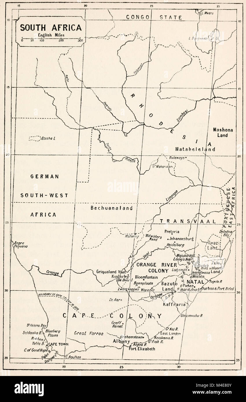 Map of South Africa, circa 1900 Stock Photohttps://www.alamy.com/image-license-details/?v=1https://www.alamy.com/stock-photo-map-of-south-africa-circa-1900-174875931.html
RMM4E80Y–Map of South Africa, circa 1900
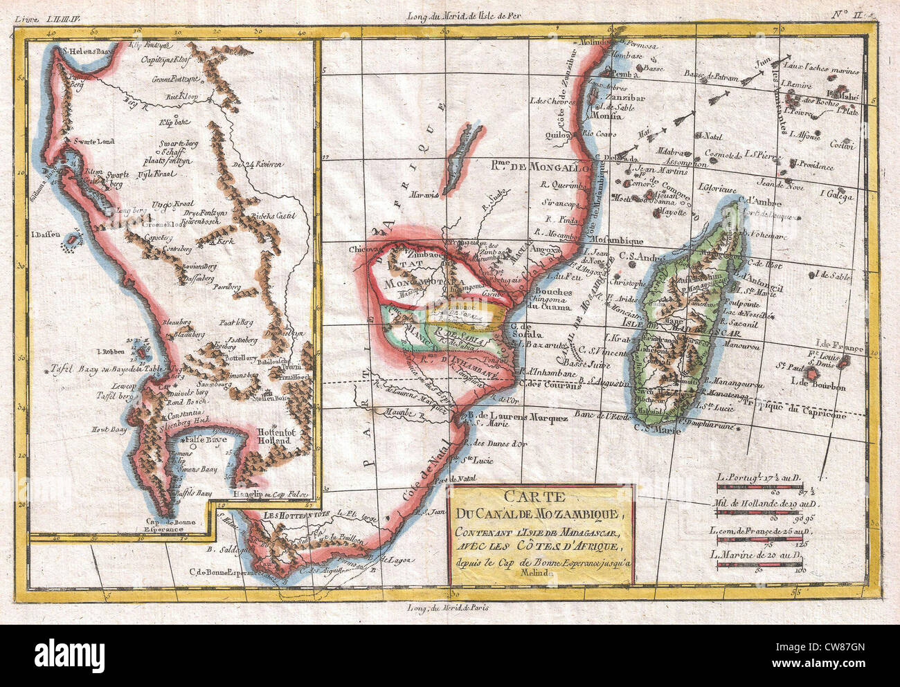 1780 Raynal and Bonne Map of South Africa, Zimbabwe, Madagascar, and Mozambique Stock Photohttps://www.alamy.com/image-license-details/?v=1https://www.alamy.com/stock-photo-1780-raynal-and-bonne-map-of-south-africa-zimbabwe-madagascar-and-49968709.html
RMCW87GN–1780 Raynal and Bonne Map of South Africa, Zimbabwe, Madagascar, and Mozambique
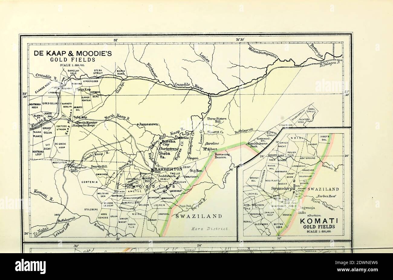 Ancient map of South African Gold fields (1895) from the book 'The Castle Line atlas of South Africa' : a series of 16 plates, printed in colour, containing 30 maps and diagrams, with an account of the geographical features , the climate, the mineral and other resources, and the history of South Africa. And an index of over 6,000 names Stock Photohttps://www.alamy.com/image-license-details/?v=1https://www.alamy.com/ancient-map-of-south-african-gold-fields-1895-from-the-book-the-castle-line-atlas-of-south-africa-a-series-of-16-plates-printed-in-colour-containing-30-maps-and-diagrams-with-an-account-of-the-geographical-features-the-climate-the-mineral-and-other-resources-and-the-history-of-south-africa-and-an-index-of-over-6000-names-image394467170.html
RF2DWNEW6–Ancient map of South African Gold fields (1895) from the book 'The Castle Line atlas of South Africa' : a series of 16 plates, printed in colour, containing 30 maps and diagrams, with an account of the geographical features , the climate, the mineral and other resources, and the history of South Africa. And an index of over 6,000 names
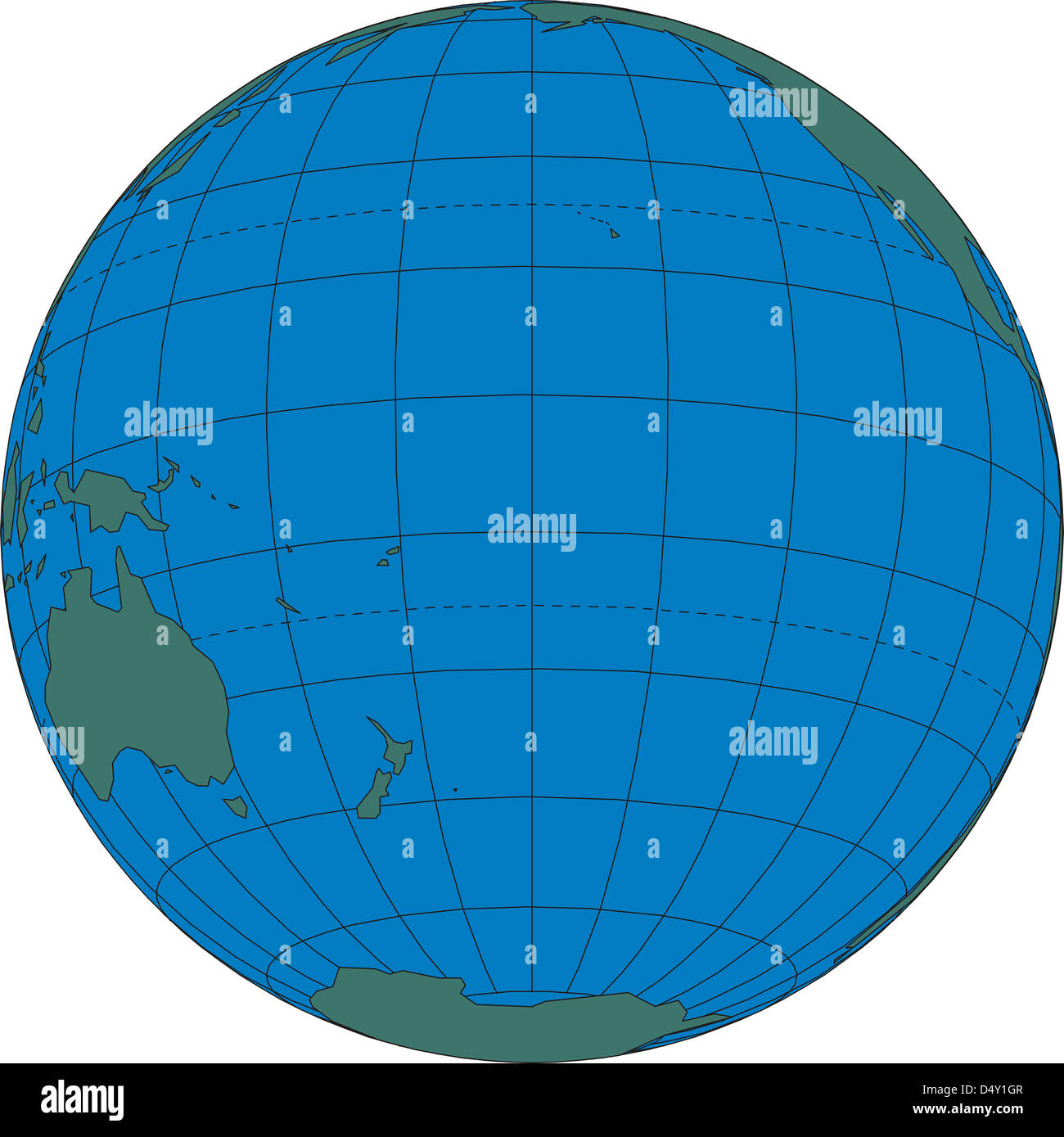 World map globe South Pacific Ocean Stock Photohttps://www.alamy.com/image-license-details/?v=1https://www.alamy.com/stock-photo-world-map-globe-south-pacific-ocean-54683687.html
RMD4Y1GR–World map globe South Pacific Ocean
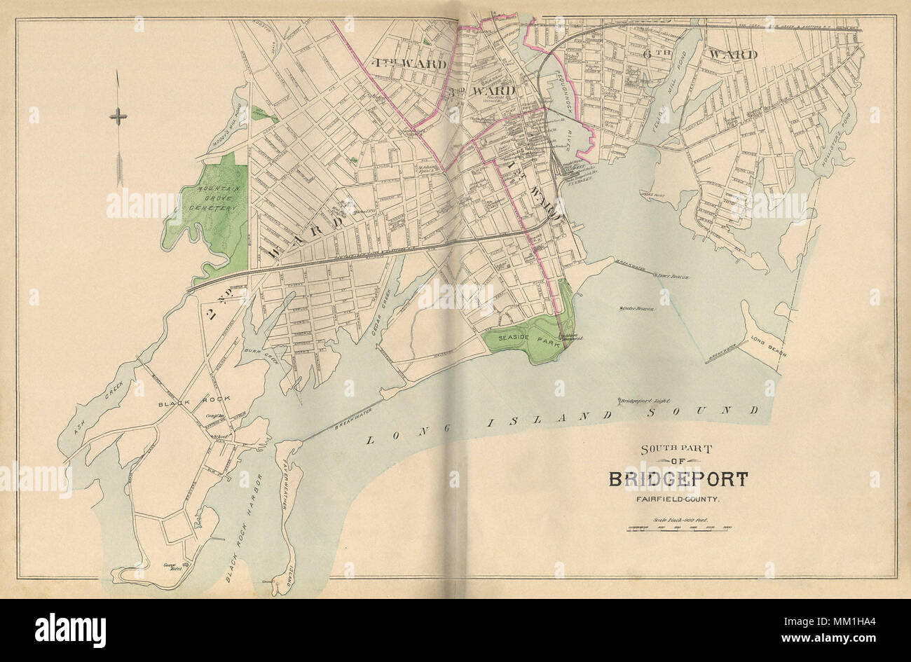 Map of South Part of Bridgeport. Bridgeport. 1893 Stock Photohttps://www.alamy.com/image-license-details/?v=1https://www.alamy.com/map-of-south-part-of-bridgeport-bridgeport-1893-image184432364.html
RMMM1HA4–Map of South Part of Bridgeport. Bridgeport. 1893
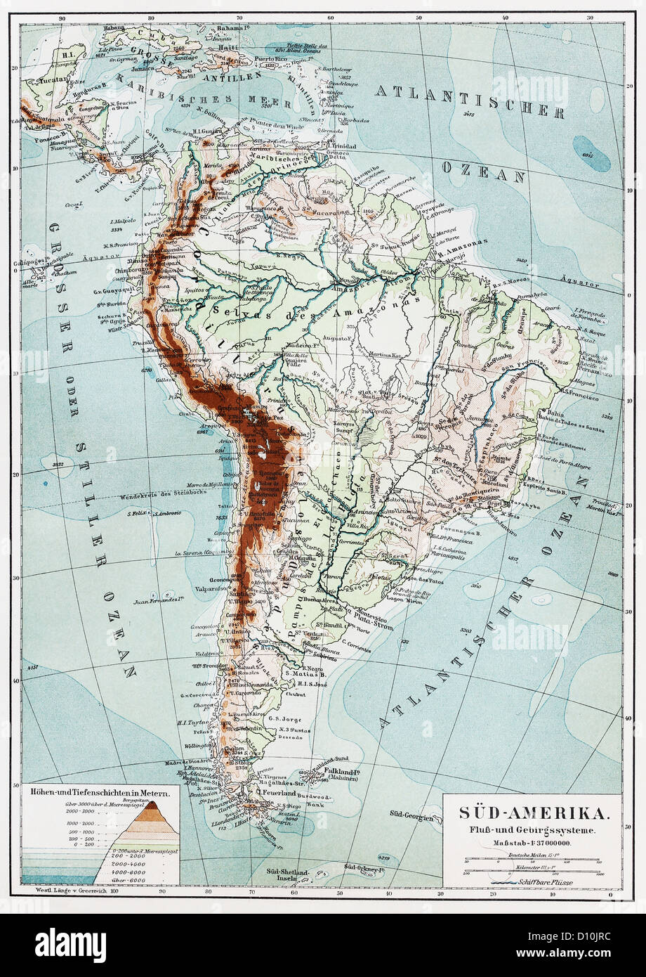 Vintage map of South America, rivers and mountains system from the end of 19th century Stock Photohttps://www.alamy.com/image-license-details/?v=1https://www.alamy.com/stock-photo-vintage-map-of-south-america-rivers-and-mountains-system-from-the-52260528.html
RFD10JRC–Vintage map of South America, rivers and mountains system from the end of 19th century
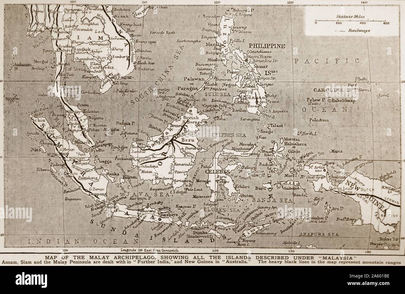 1900 Map of south East Asia showing the Philippines; Malaya; Indonesia (Dutch East Indies). Stock Photohttps://www.alamy.com/image-license-details/?v=1https://www.alamy.com/1900-map-of-south-east-asia-showing-the-philippines-malaya-indonesia-dutch-east-indies-image330686034.html
RM2A601BE–1900 Map of south East Asia showing the Philippines; Malaya; Indonesia (Dutch East Indies).
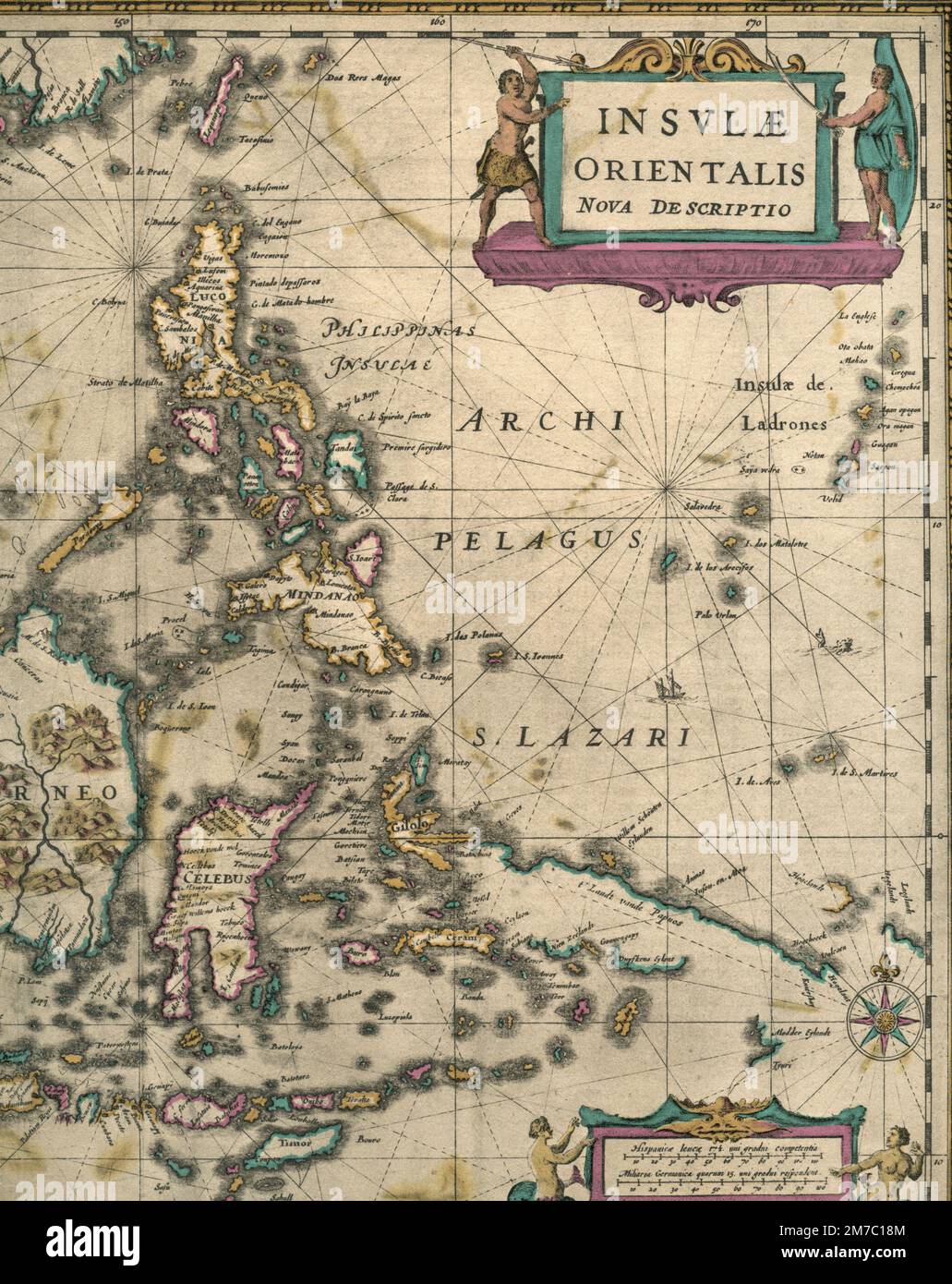 Map of South East Asia with the voyage of the troop filming the documentary film Lost Continent, Italy 1955 Stock Photohttps://www.alamy.com/image-license-details/?v=1https://www.alamy.com/map-of-south-east-asia-with-the-voyage-of-the-troop-filming-the-documentary-film-lost-continent-italy-1955-image503667716.html
RF2M7C18M–Map of South East Asia with the voyage of the troop filming the documentary film Lost Continent, Italy 1955
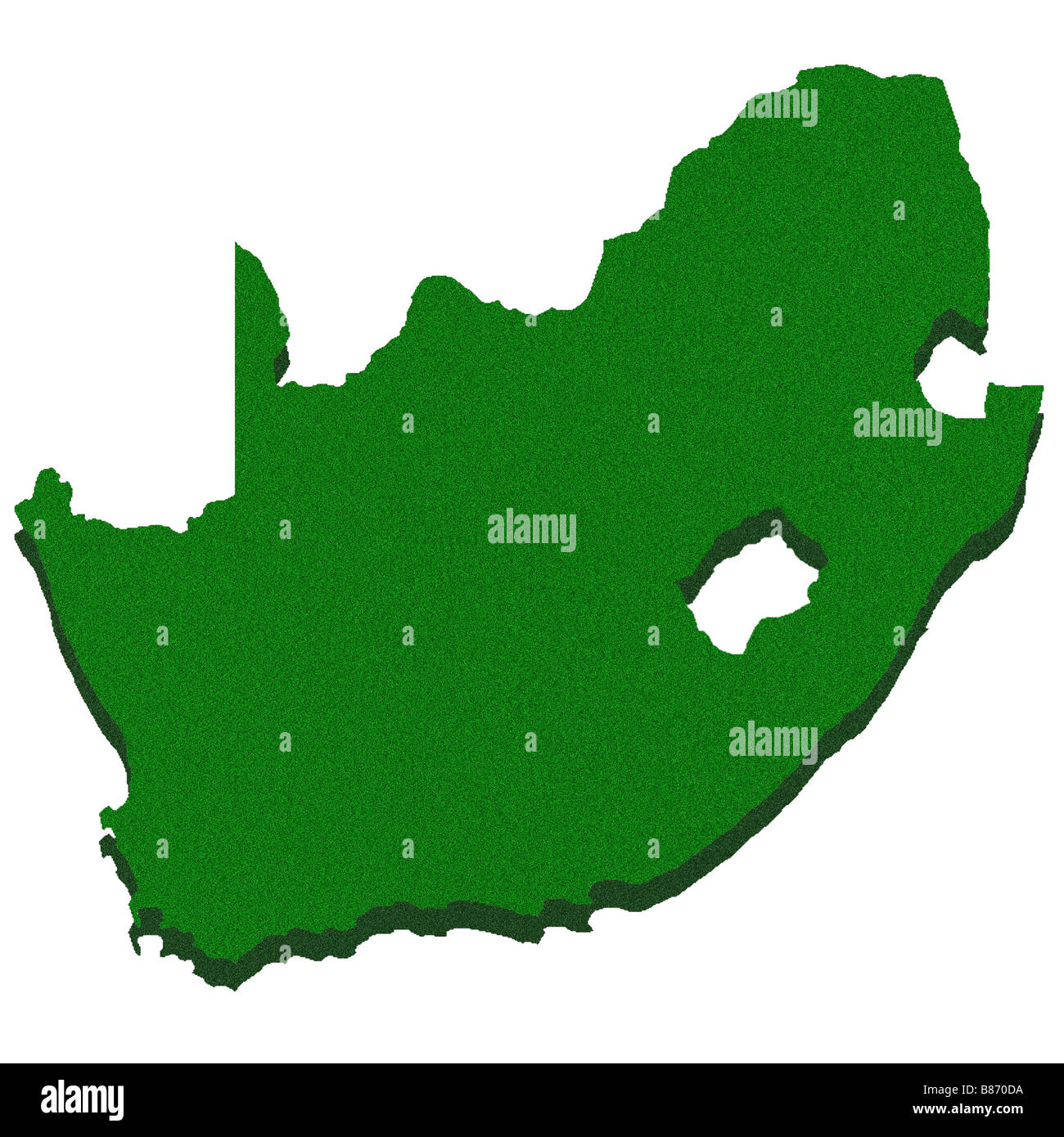 Outline map of South Africa Stock Photohttps://www.alamy.com/image-license-details/?v=1https://www.alamy.com/stock-photo-outline-map-of-south-africa-22281654.html
RFB870DA–Outline map of South Africa
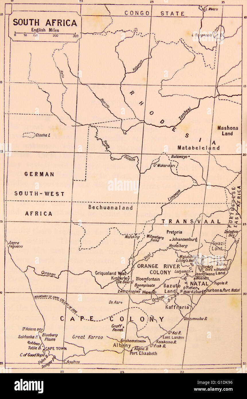 Map of South Africa during the 19th Century Stock Photohttps://www.alamy.com/image-license-details/?v=1https://www.alamy.com/stock-photo-map-of-south-africa-during-the-19th-century-104177394.html
RMG1DK96–Map of South Africa during the 19th Century
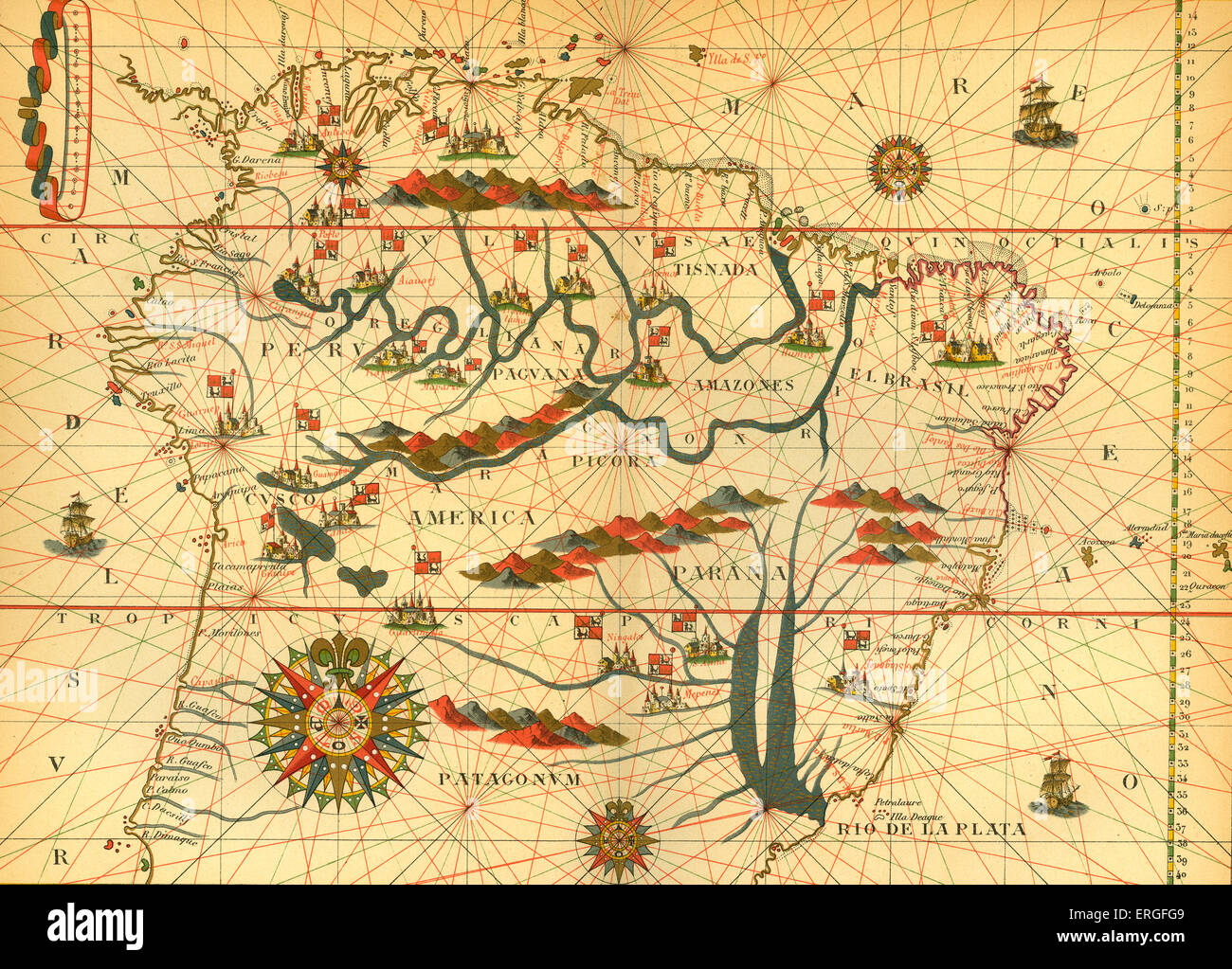 Map of South America - from reduced reproduction of map in Spanish atlas by Joan Martinès at Messina, 1582. Stock Photohttps://www.alamy.com/image-license-details/?v=1https://www.alamy.com/stock-photo-map-of-south-america-from-reduced-reproduction-of-map-in-spanish-atlas-83342009.html
RMERGFG9–Map of South America - from reduced reproduction of map in Spanish atlas by Joan Martinès at Messina, 1582.
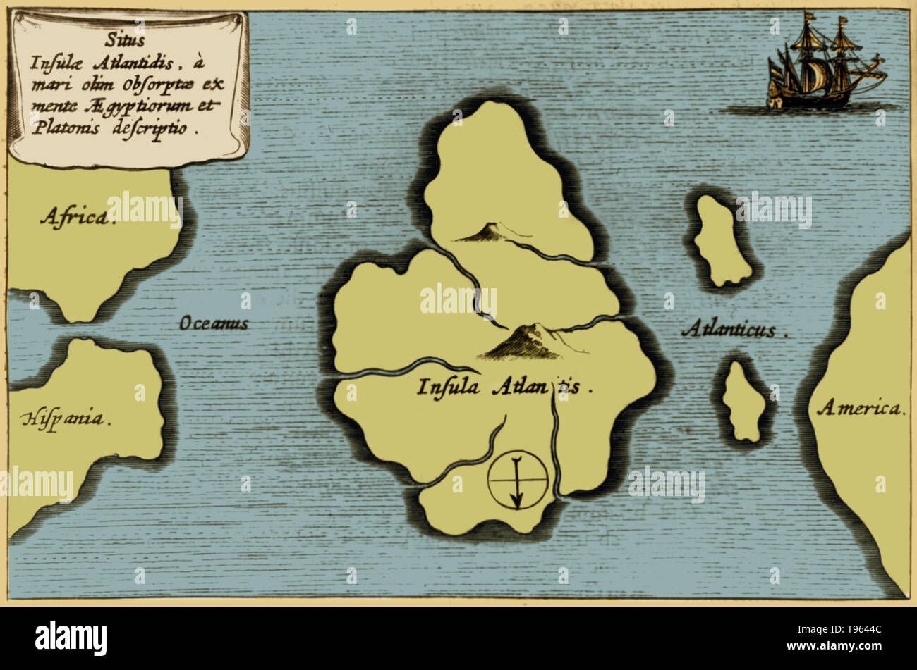 Colorization of Athanasius Kircher's map of Atlantis, in the middle of the Atlantic Ocean from Mundus Subterraneus, 1665 edition. The map is oriented with south at the top. The story of the lost continent of Atlantis starts in 355 BC with the Greek philosopher Plato. Stock Photohttps://www.alamy.com/image-license-details/?v=1https://www.alamy.com/colorization-of-athanasius-kirchers-map-of-atlantis-in-the-middle-of-the-atlantic-ocean-from-mundus-subterraneus-1665-edition-the-map-is-oriented-with-south-at-the-top-the-story-of-the-lost-continent-of-atlantis-starts-in-355-bc-with-the-greek-philosopher-plato-image246612028.html
RMT9644C–Colorization of Athanasius Kircher's map of Atlantis, in the middle of the Atlantic Ocean from Mundus Subterraneus, 1665 edition. The map is oriented with south at the top. The story of the lost continent of Atlantis starts in 355 BC with the Greek philosopher Plato.
 map of south america with capitals in green Stock Vectorhttps://www.alamy.com/image-license-details/?v=1https://www.alamy.com/stock-photo-map-of-south-america-with-capitals-in-green-146901363.html
RFJEYX57–map of south america with capitals in green
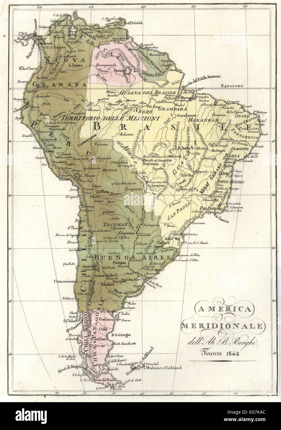 Map of South America, 1842. Stock Photohttps://www.alamy.com/image-license-details/?v=1https://www.alamy.com/stock-photo-map-of-south-america-1842-78844820.html
RMEG7KAC–Map of South America, 1842.
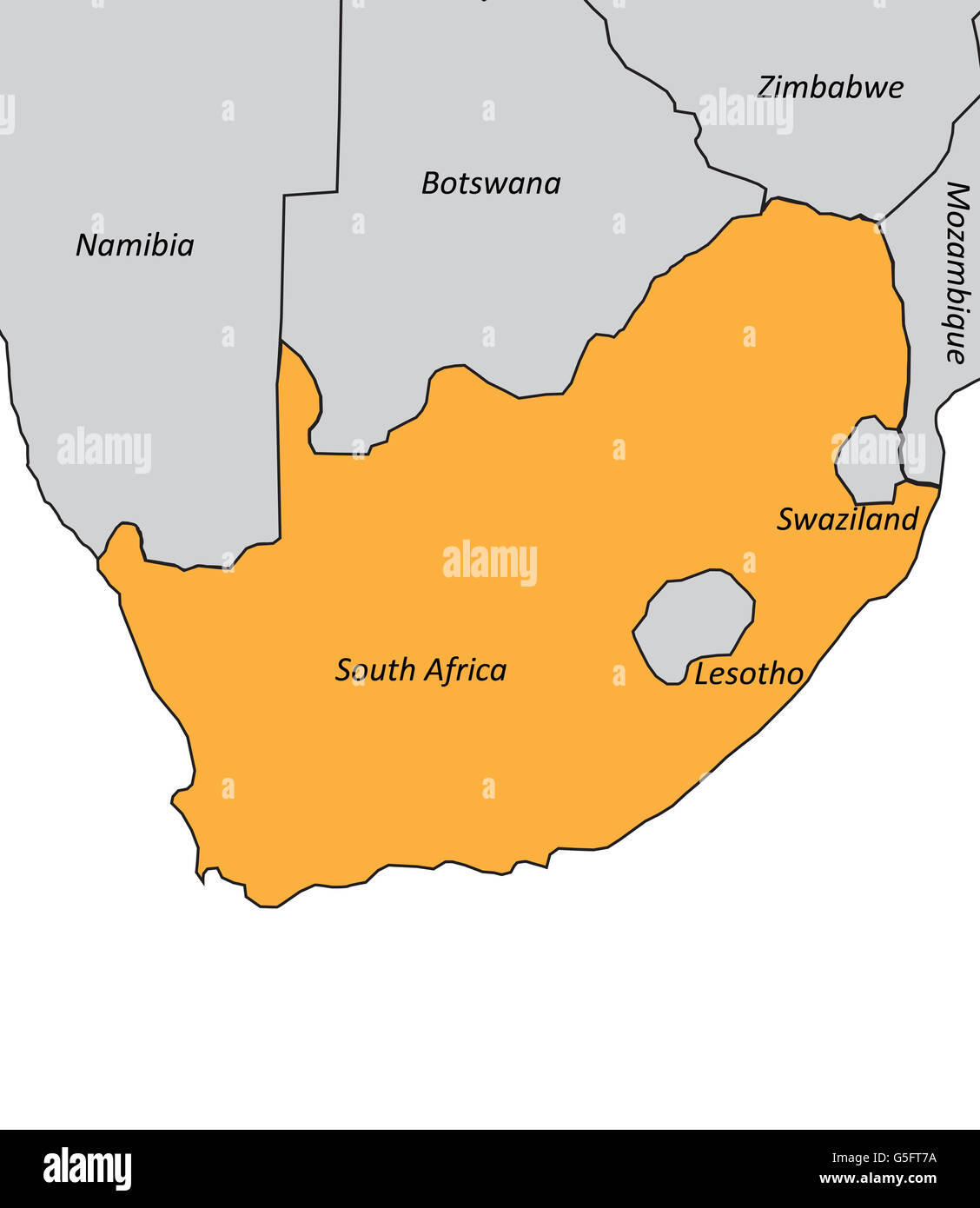 Map of South Africa Stock Photohttps://www.alamy.com/image-license-details/?v=1https://www.alamy.com/stock-photo-map-of-south-africa-106683790.html
RMG5FT7A–Map of South Africa
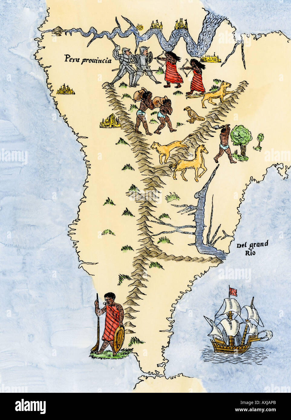 Map of South America from the Sebastian Cabot map of the world 1544. Hand-colored woodcut Stock Photohttps://www.alamy.com/image-license-details/?v=1https://www.alamy.com/map-of-south-america-from-the-sebastian-cabot-map-of-the-world-1544-image9632234.html
RMAXJAPB–Map of South America from the Sebastian Cabot map of the world 1544. Hand-colored woodcut
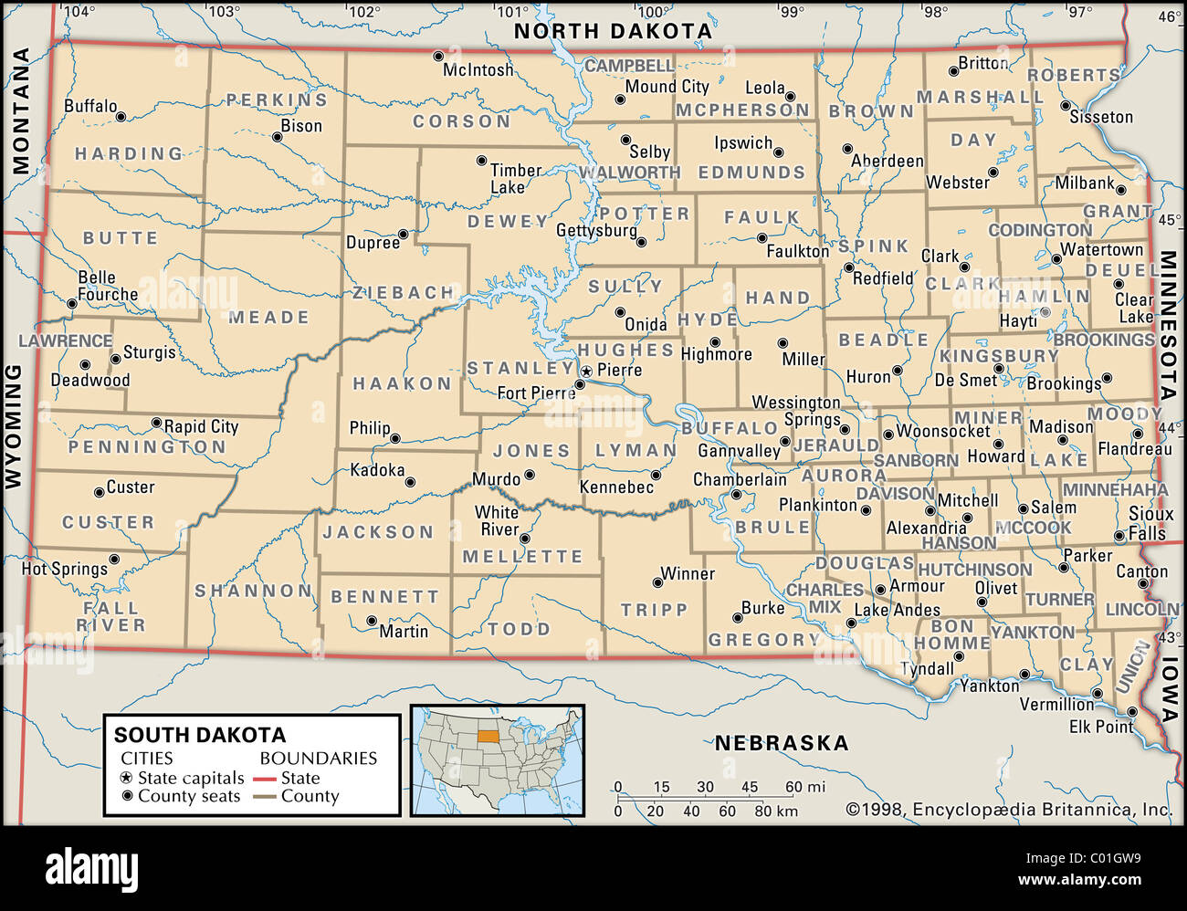 Political map of South Dakota Stock Photohttps://www.alamy.com/image-license-details/?v=1https://www.alamy.com/stock-photo-political-map-of-south-dakota-34455941.html
RMC01GW9–Political map of South Dakota
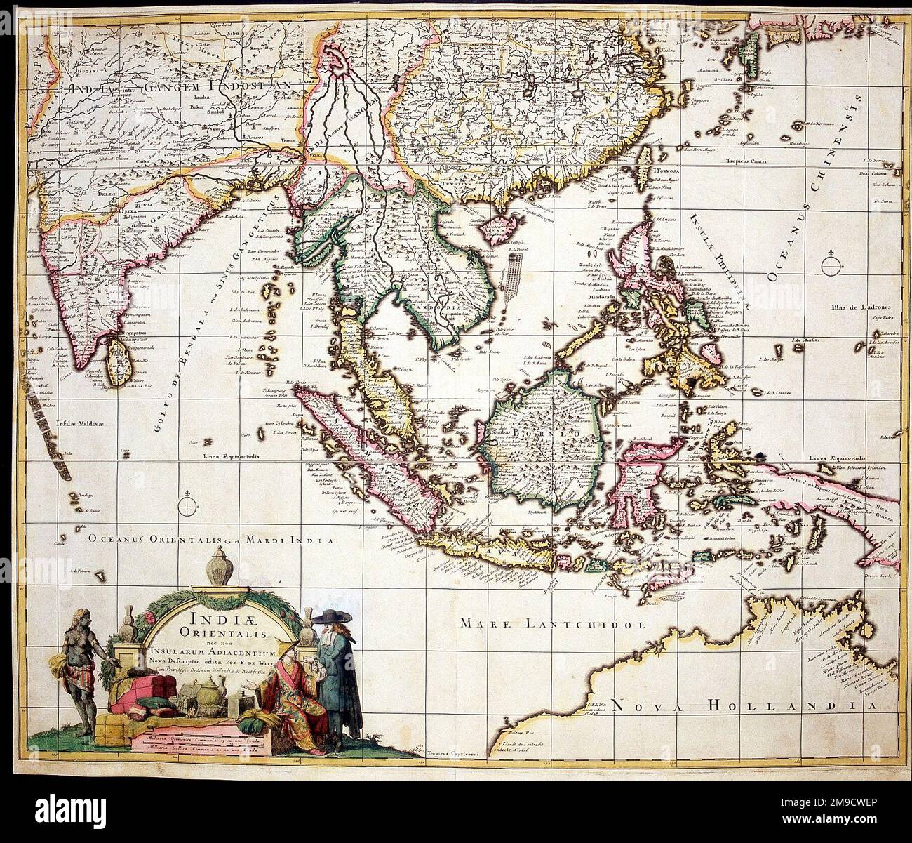 17th century Map of South East Asia Stock Photohttps://www.alamy.com/image-license-details/?v=1https://www.alamy.com/17th-century-map-of-south-east-asia-image504916014.html
RM2M9CWEP–17th century Map of South East Asia
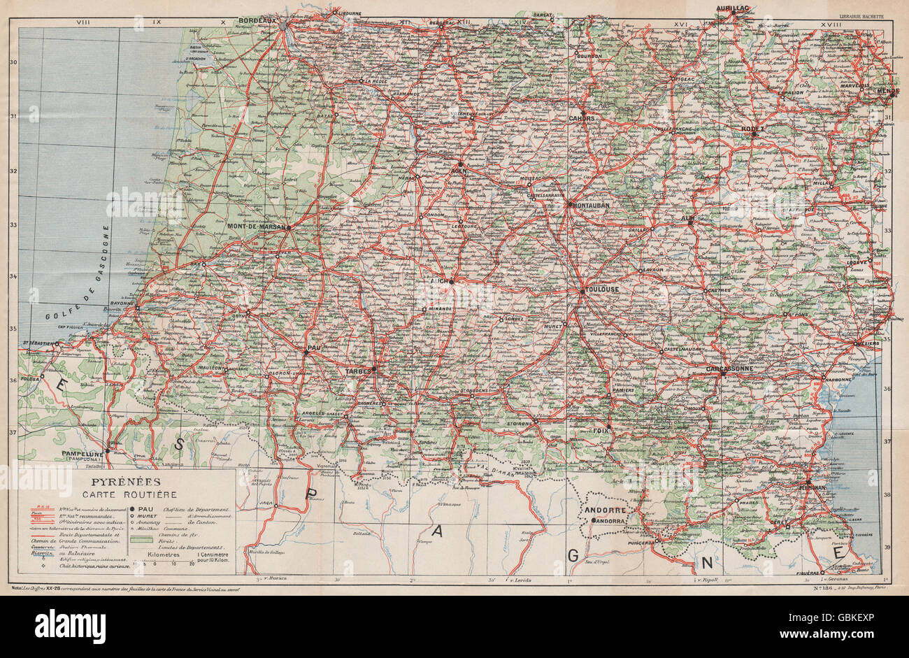 PYRÉNÉES CARTE ROUTIÈRE. Vintage map plan. South West France motoring map 1933 Stock Photohttps://www.alamy.com/image-license-details/?v=1https://www.alamy.com/stock-photo-pyrnes-carte-routire-vintage-map-plan-south-west-france-motoring-map-110452238.html
RFGBKEXP–PYRÉNÉES CARTE ROUTIÈRE. Vintage map plan. South West France motoring map 1933
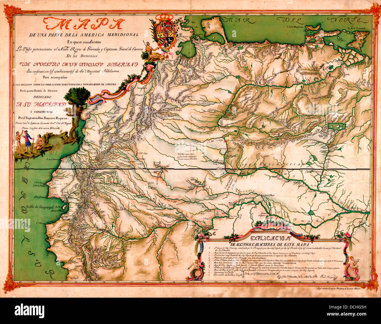 Map of part of South America, 1783 Stock Photohttps://www.alamy.com/image-license-details/?v=1https://www.alamy.com/stock-photo-map-of-part-of-south-america-1783-59392861.html
RMDCHG5H–Map of part of South America, 1783
 1862 Johnson Map of South America Stock Photohttps://www.alamy.com/image-license-details/?v=1https://www.alamy.com/stock-photo-1862-johnson-map-of-south-america-50538609.html
RMCX66E9–1862 Johnson Map of South America
 Ancient map of South African Republic and the Orange Free State with a detailed plan of Pretoria (1895) from the book 'The Castle Line atlas of South Africa' : a series of 16 plates, printed in colour, containing 30 maps and diagrams, with an account of the geographical features , the climate, the mineral and other resources, and the history of South Africa. And an index of over 6,000 names Stock Photohttps://www.alamy.com/image-license-details/?v=1https://www.alamy.com/ancient-map-of-south-african-republic-and-the-orange-free-state-with-a-detailed-plan-of-pretoria-1895-from-the-book-the-castle-line-atlas-of-south-africa-a-series-of-16-plates-printed-in-colour-containing-30-maps-and-diagrams-with-an-account-of-the-geographical-features-the-climate-the-mineral-and-other-resources-and-the-history-of-south-africa-and-an-index-of-over-6000-names-image394466716.html
RF2DWNE90–Ancient map of South African Republic and the Orange Free State with a detailed plan of Pretoria (1895) from the book 'The Castle Line atlas of South Africa' : a series of 16 plates, printed in colour, containing 30 maps and diagrams, with an account of the geographical features , the climate, the mineral and other resources, and the history of South Africa. And an index of over 6,000 names
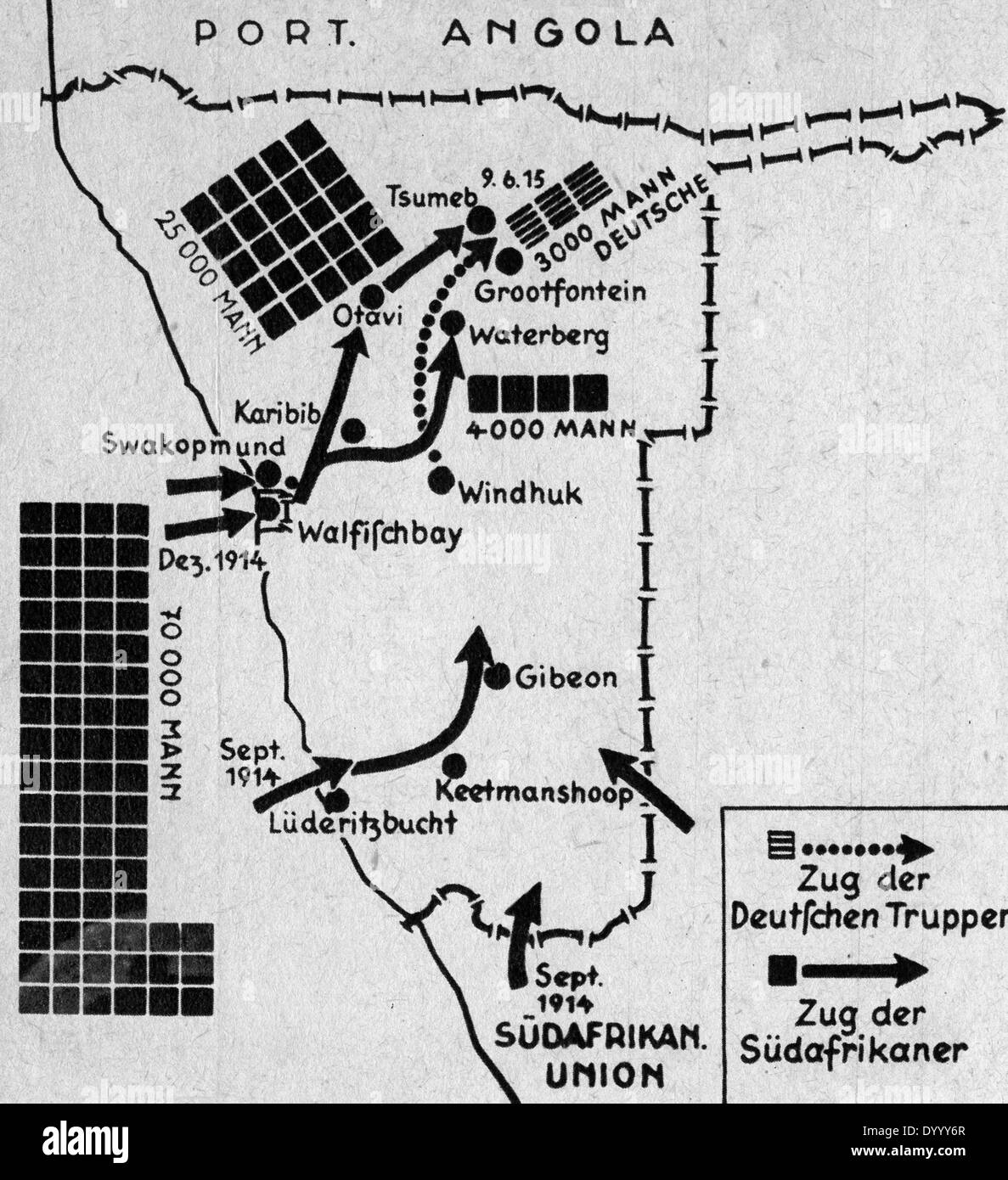 Map of German South-West Africa in World War I Stock Photohttps://www.alamy.com/image-license-details/?v=1https://www.alamy.com/map-of-german-south-west-africa-in-world-war-i-image68840879.html
RMDYYY6R–Map of German South-West Africa in World War I
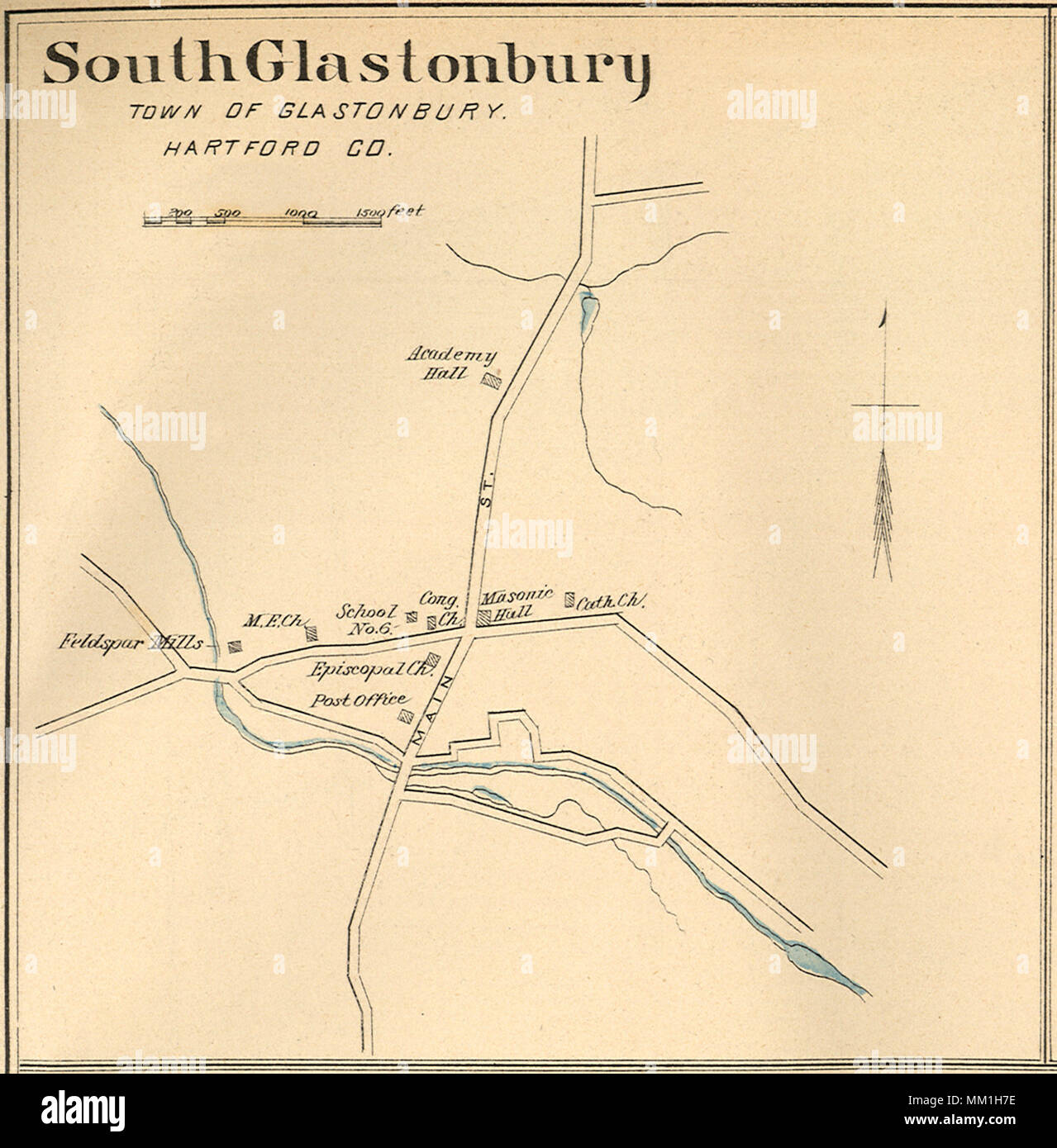 Map of South Glastonbury. South Glastonbury. 1893 Stock Photohttps://www.alamy.com/image-license-details/?v=1https://www.alamy.com/map-of-south-glastonbury-south-glastonbury-1893-image184432290.html
RMMM1H7E–Map of South Glastonbury. South Glastonbury. 1893
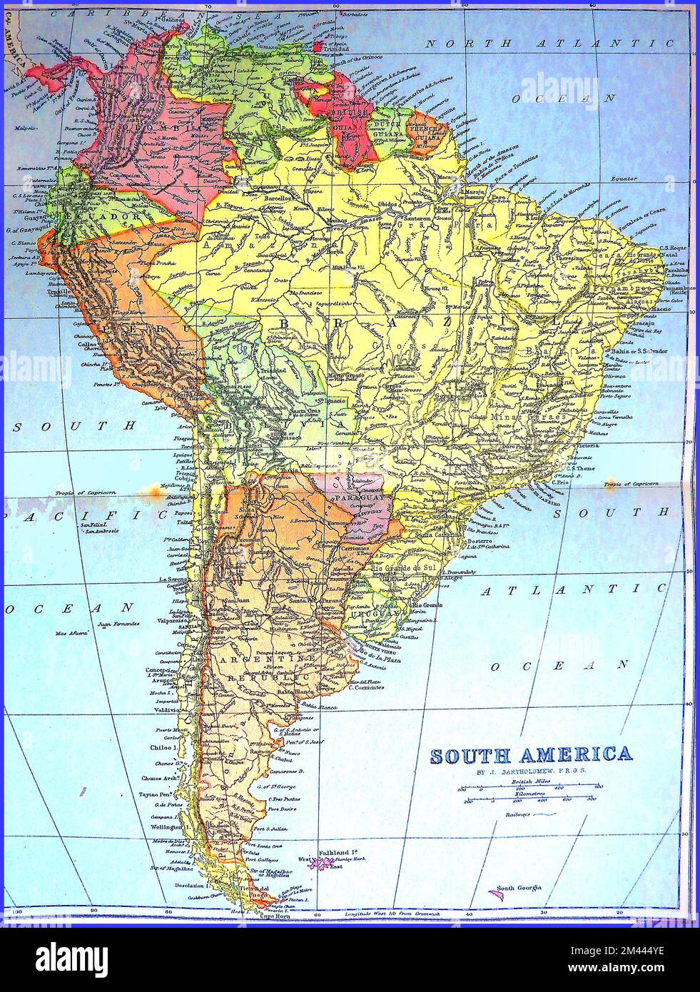 A circa 1890s coloured map of south America before the cutting of the Panama Canal. ----- Un mapa coloreado de alrededor de 1890 de América del Sur antes del corte del Canal de Panamá. ----- Um mapa colorido da América do Sul por volta da década de 1890 antes do corte do Canal do Panamá. ----- Um mapa colorido de 1890 da América do Sul antes do corte do Canal do Panamá. ----- Stock Photohttps://www.alamy.com/image-license-details/?v=1https://www.alamy.com/a-circa-1890s-coloured-map-of-south-america-before-the-cutting-of-the-panama-canal-un-mapa-coloreado-de-alrededor-de-1890-de-amrica-del-sur-antes-del-corte-del-canal-de-panam-um-mapa-colorido-da-amrica-do-sul-por-volta-da-dcada-de-1890-antes-do-corte-do-canal-do-panam-um-mapa-colorido-de-1890-da-amrica-do-sul-antes-do-corte-do-canal-do-panam-image501651010.html
RM2M444YE–A circa 1890s coloured map of south America before the cutting of the Panama Canal. ----- Un mapa coloreado de alrededor de 1890 de América del Sur antes del corte del Canal de Panamá. ----- Um mapa colorido da América do Sul por volta da década de 1890 antes do corte do Canal do Panamá. ----- Um mapa colorido de 1890 da América do Sul antes do corte do Canal do Panamá. -----
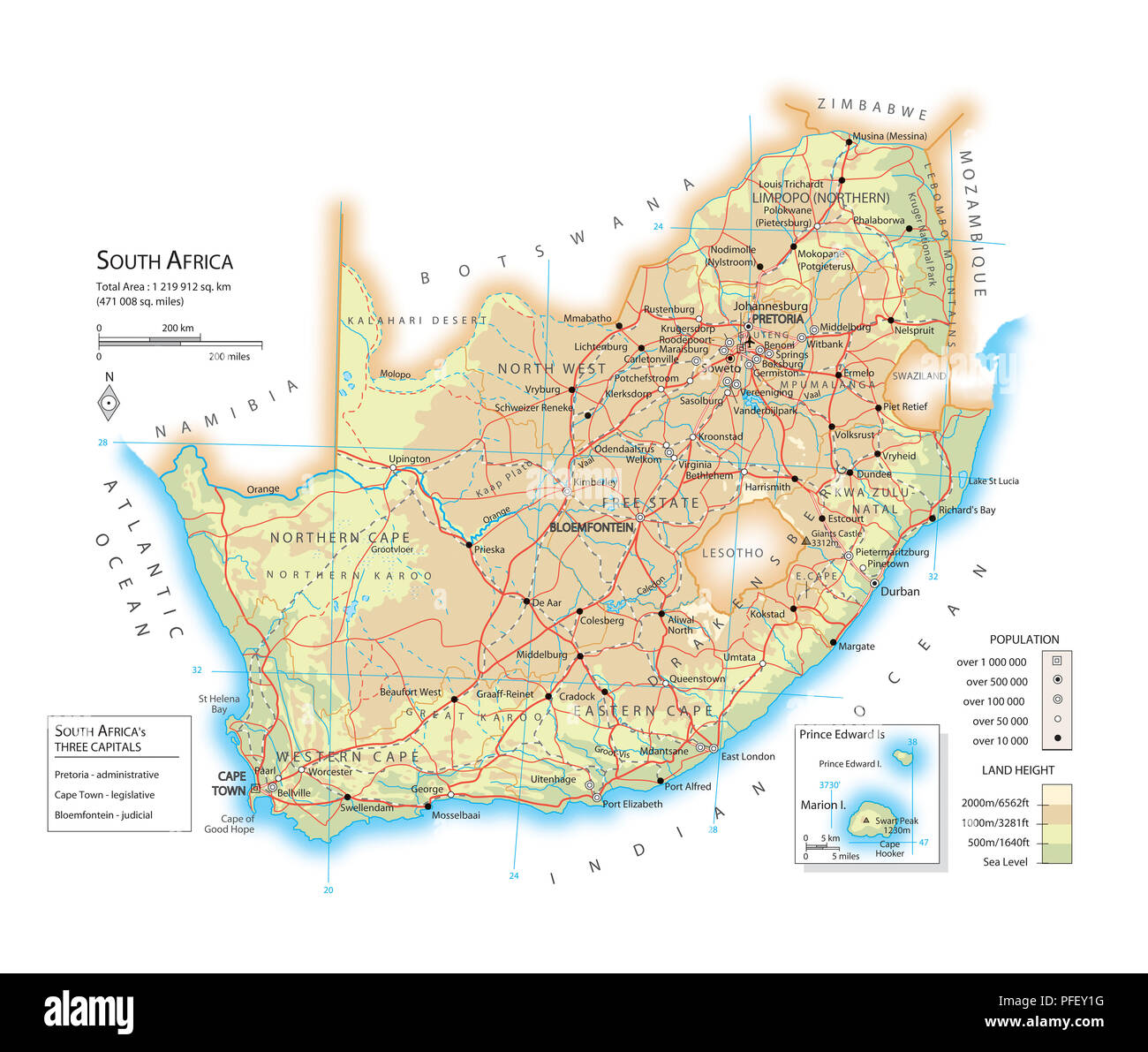 Map of South Africa Stock Photohttps://www.alamy.com/image-license-details/?v=1https://www.alamy.com/map-of-south-africa-image216072796.html
RMPFEY1G–Map of South Africa
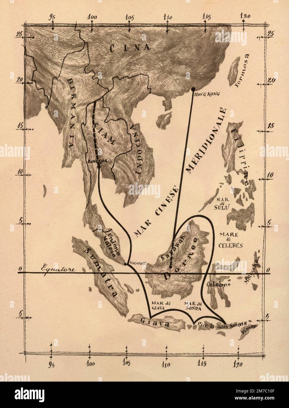 Map of South East Asia with the voyage of the troop filming the documentary film Lost Continent, Italy 1955 Stock Photohttps://www.alamy.com/image-license-details/?v=1https://www.alamy.com/map-of-south-east-asia-with-the-voyage-of-the-troop-filming-the-documentary-film-lost-continent-italy-1955-image503667487.html
RF2M7C10F–Map of South East Asia with the voyage of the troop filming the documentary film Lost Continent, Italy 1955
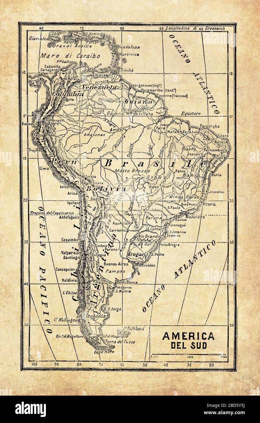 Ancient map of South America sub-continent and part of the Caribbean with geographical Italian names and descriptions Stock Photohttps://www.alamy.com/image-license-details/?v=1https://www.alamy.com/ancient-map-of-south-america-sub-continent-and-part-of-the-caribbean-with-geographical-italian-names-and-descriptions-image352328974.html
RF2BD5Y5J–Ancient map of South America sub-continent and part of the Caribbean with geographical Italian names and descriptions
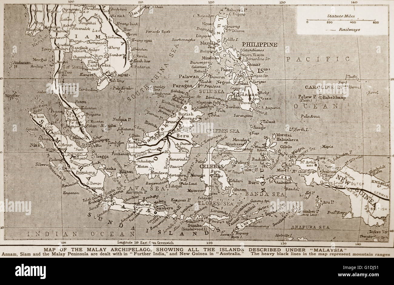 1900 Map of south East Asia showing the Philippines; Malaya; Indonesia (Dutch East Indies). Stock Photohttps://www.alamy.com/image-license-details/?v=1https://www.alamy.com/stock-photo-1900-map-of-south-east-asia-showing-the-philippines-malaya-indonesia-104176493.html
RMG1DJ51–1900 Map of south East Asia showing the Philippines; Malaya; Indonesia (Dutch East Indies).
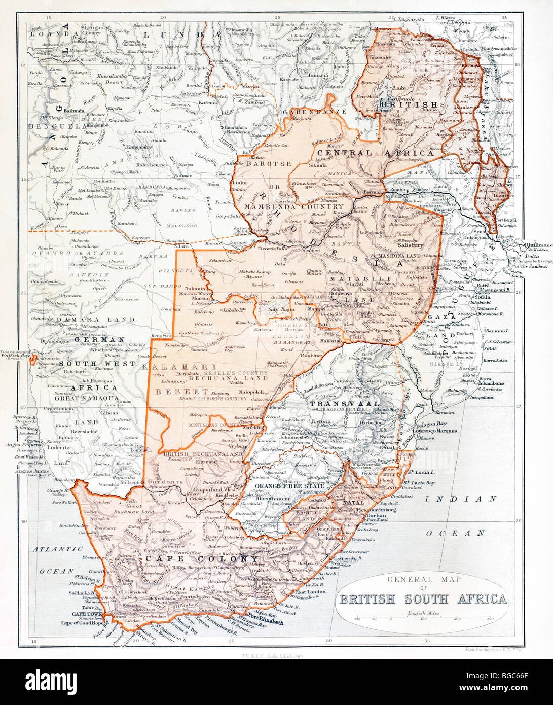 General Map of British South Africa. Stock Photohttps://www.alamy.com/image-license-details/?v=1https://www.alamy.com/stock-photo-general-map-of-british-south-africa-27313175.html
RMBGC66F–General Map of British South Africa.
 Map of the South Polar Regions - published in Jansson 's 'Novus Atlas', 1658. (Full title: 'Novus Atlas, das ist Stock Photohttps://www.alamy.com/image-license-details/?v=1https://www.alamy.com/stock-photo-map-of-the-south-polar-regions-published-in-jansson-s-novus-atlas-83342978.html
RMERGGPX–Map of the South Polar Regions - published in Jansson 's 'Novus Atlas', 1658. (Full title: 'Novus Atlas, das ist
 map of south america with capitals in green Stock Vectorhttps://www.alamy.com/image-license-details/?v=1https://www.alamy.com/stock-photo-map-of-south-america-with-capitals-in-green-146909480.html
RFJF08F4–map of south america with capitals in green
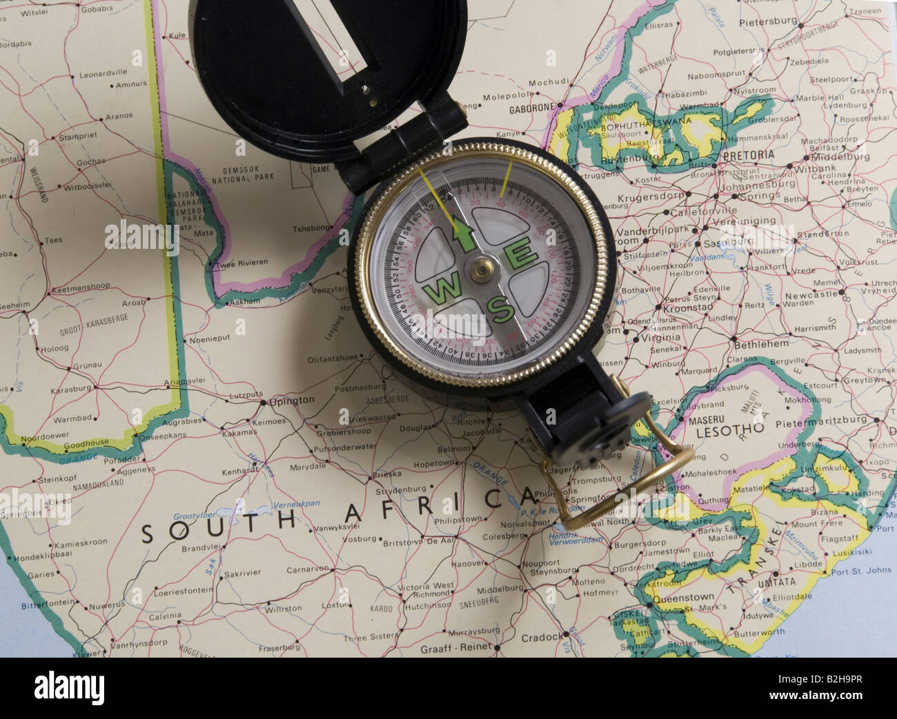 compass on map of south africa Stock Photohttps://www.alamy.com/image-license-details/?v=1https://www.alamy.com/stock-photo-compass-on-map-of-south-africa-18820559.html
RMB2H9PR–compass on map of south africa
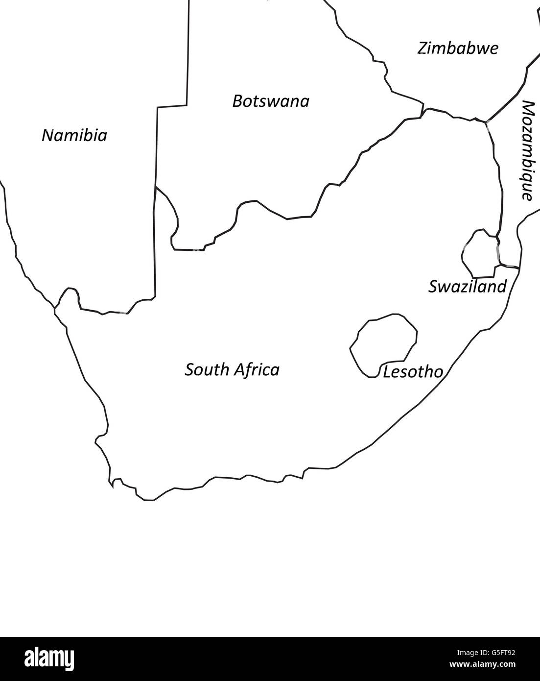 Map of South Africa Stock Photohttps://www.alamy.com/image-license-details/?v=1https://www.alamy.com/stock-photo-map-of-south-africa-106683838.html
RMG5FT92–Map of South Africa
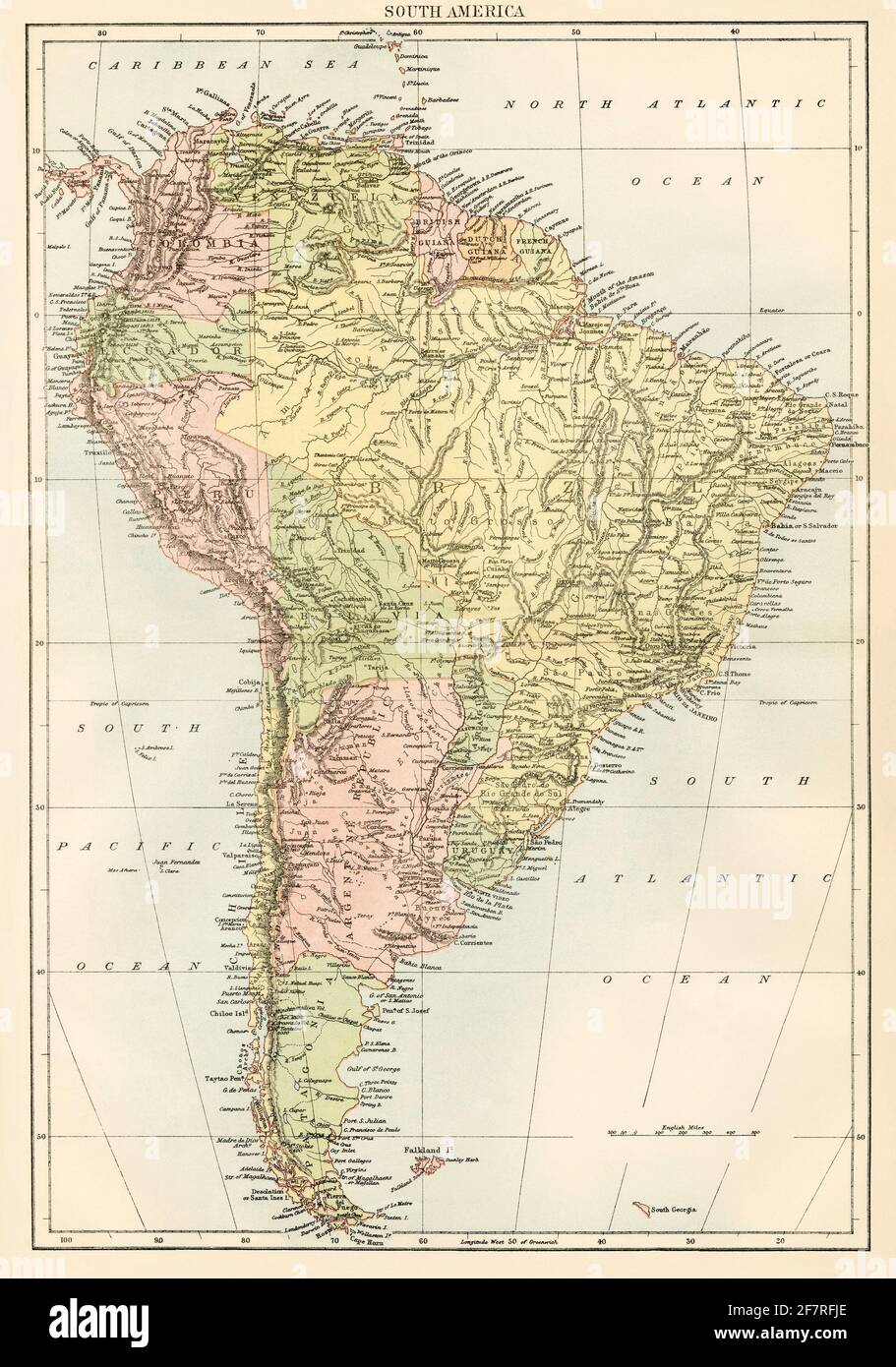 Map of South America, 1870s. Color lithograph Stock Photohttps://www.alamy.com/image-license-details/?v=1https://www.alamy.com/map-of-south-america-1870s-color-lithograph-image417868598.html
RM2F7RFJE–Map of South America, 1870s. Color lithograph
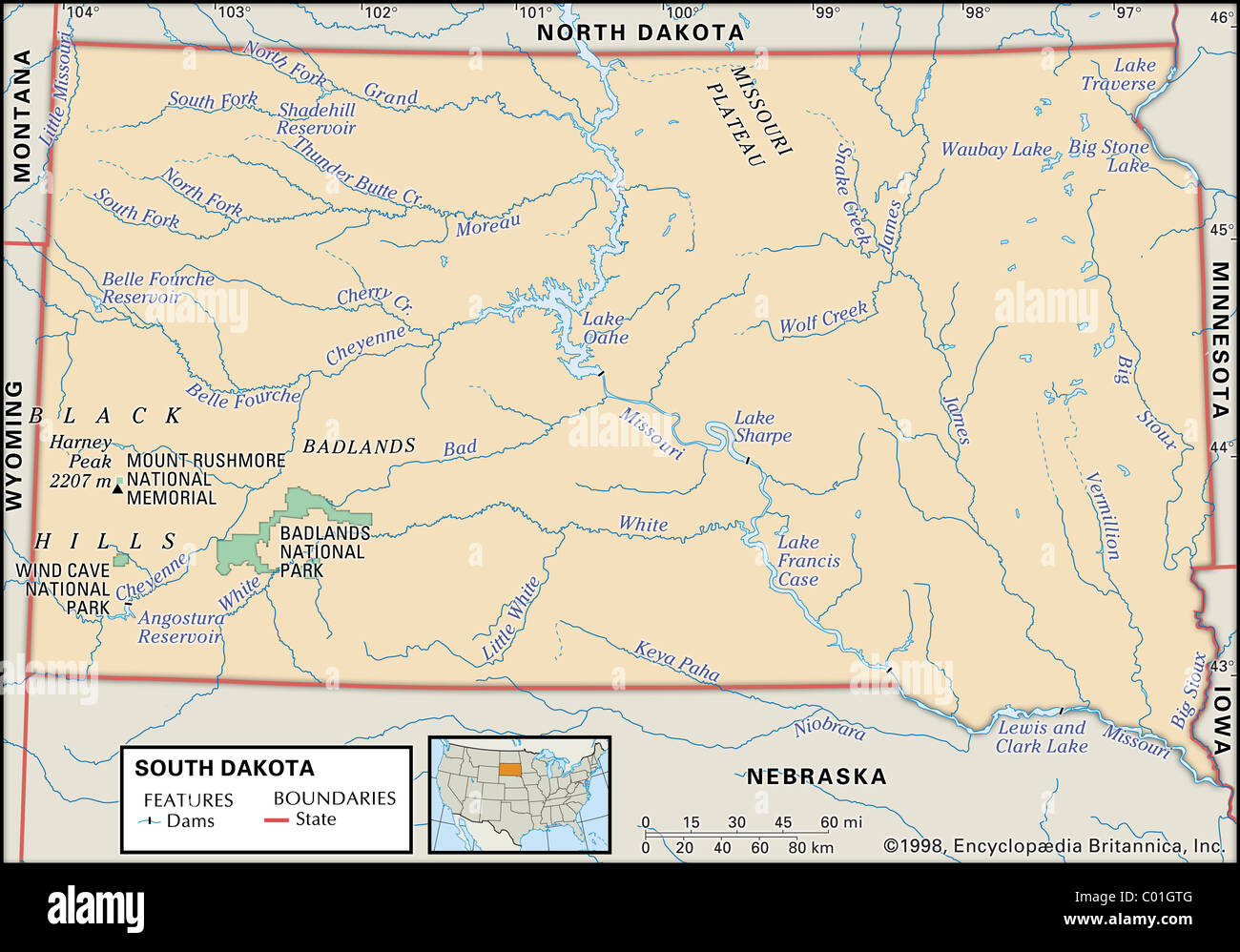 Physical map of South Dakota Stock Photohttps://www.alamy.com/image-license-details/?v=1https://www.alamy.com/stock-photo-physical-map-of-south-dakota-34455920.html
RMC01GTG–Physical map of South Dakota
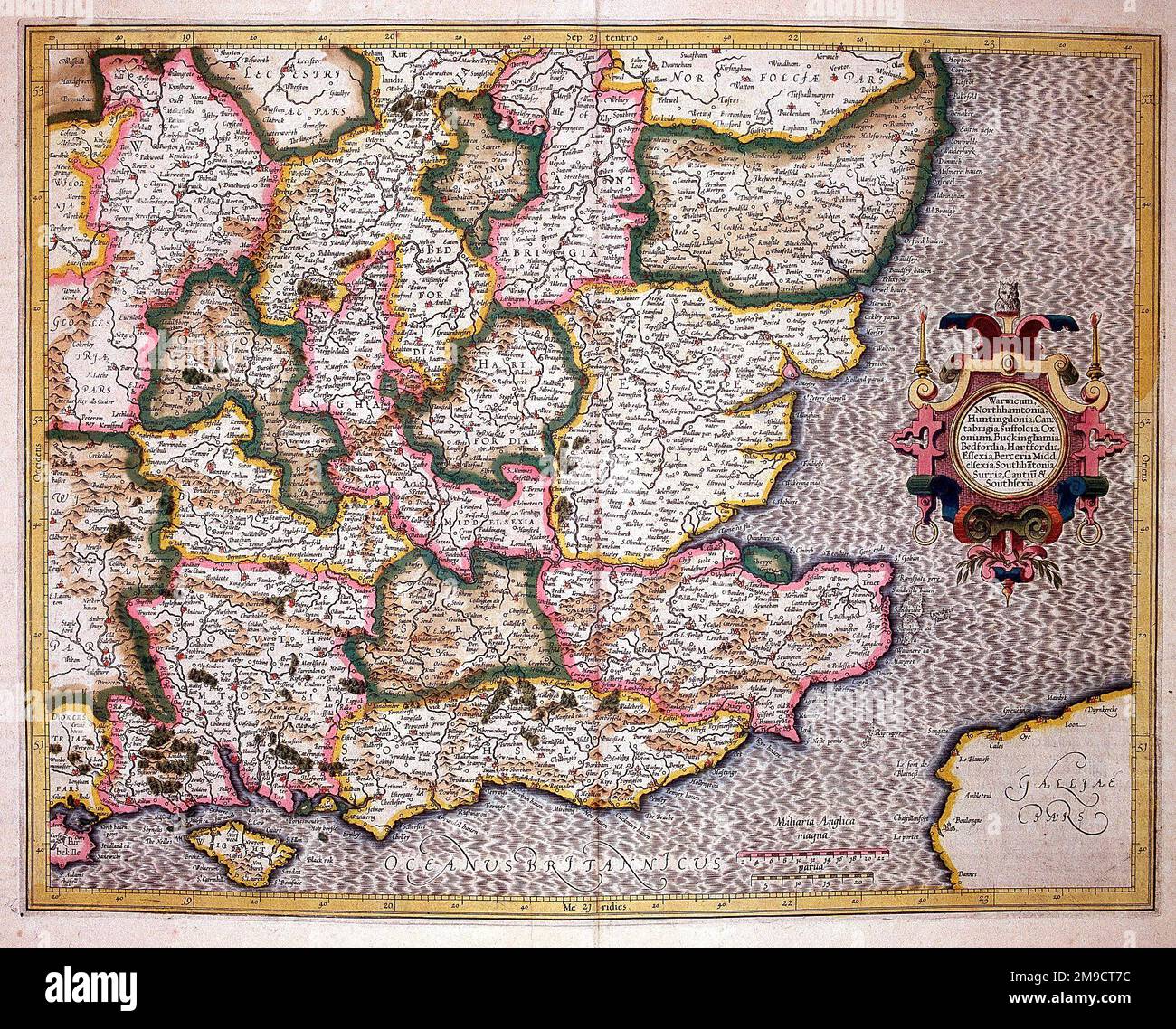 16th century Map of South East England Stock Photohttps://www.alamy.com/image-license-details/?v=1https://www.alamy.com/16th-century-map-of-south-east-england-image504915024.html
RM2M9CT7C–16th century Map of South East England
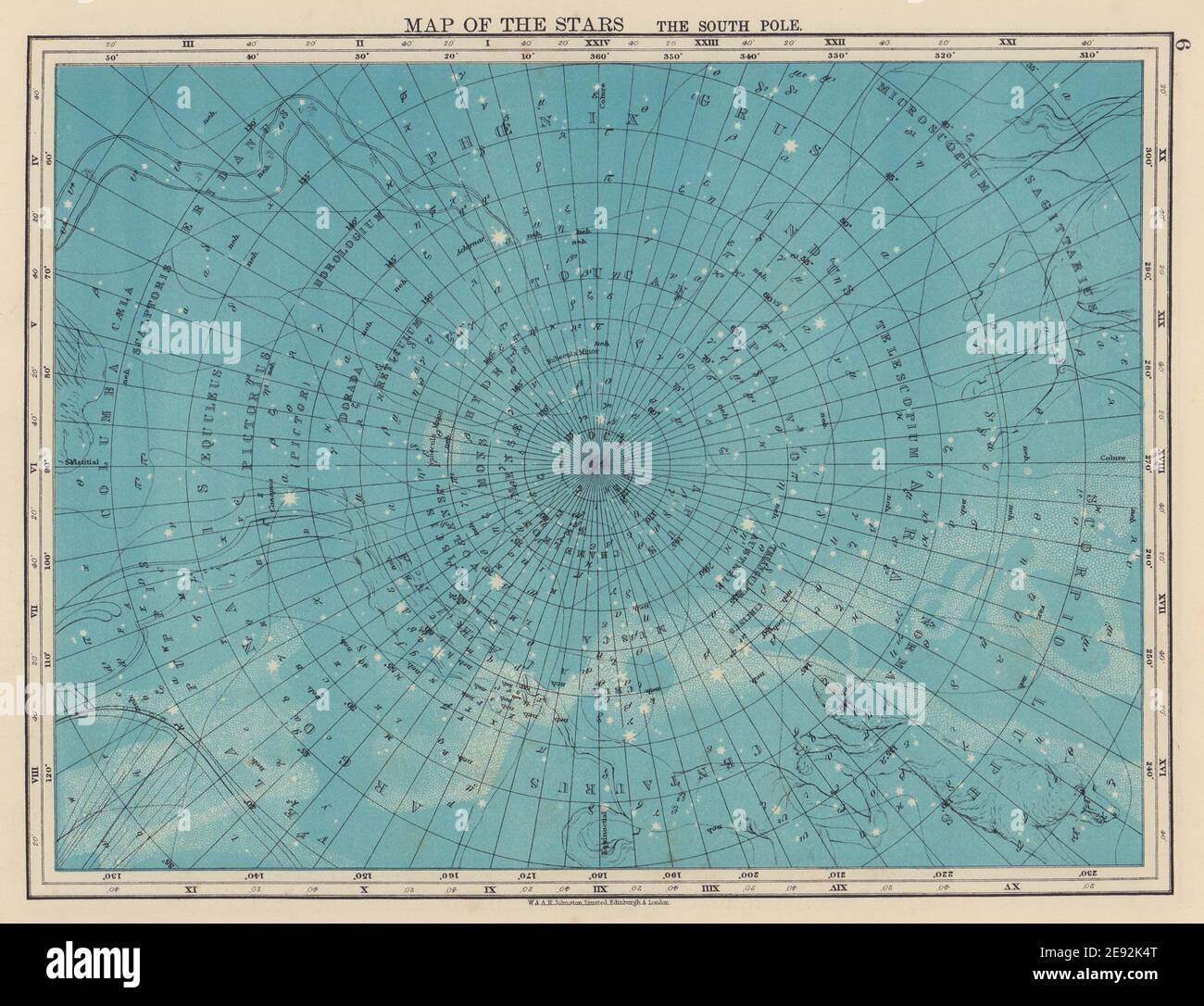 ASTRONOMY. Map of the Stars. The South Pole. Constellations. JOHNSTON 1901 Stock Photohttps://www.alamy.com/image-license-details/?v=1https://www.alamy.com/astronomy-map-of-the-stars-the-south-pole-constellations-johnston-1901-image401429304.html
RF2E92K4T–ASTRONOMY. Map of the Stars. The South Pole. Constellations. JOHNSTON 1901
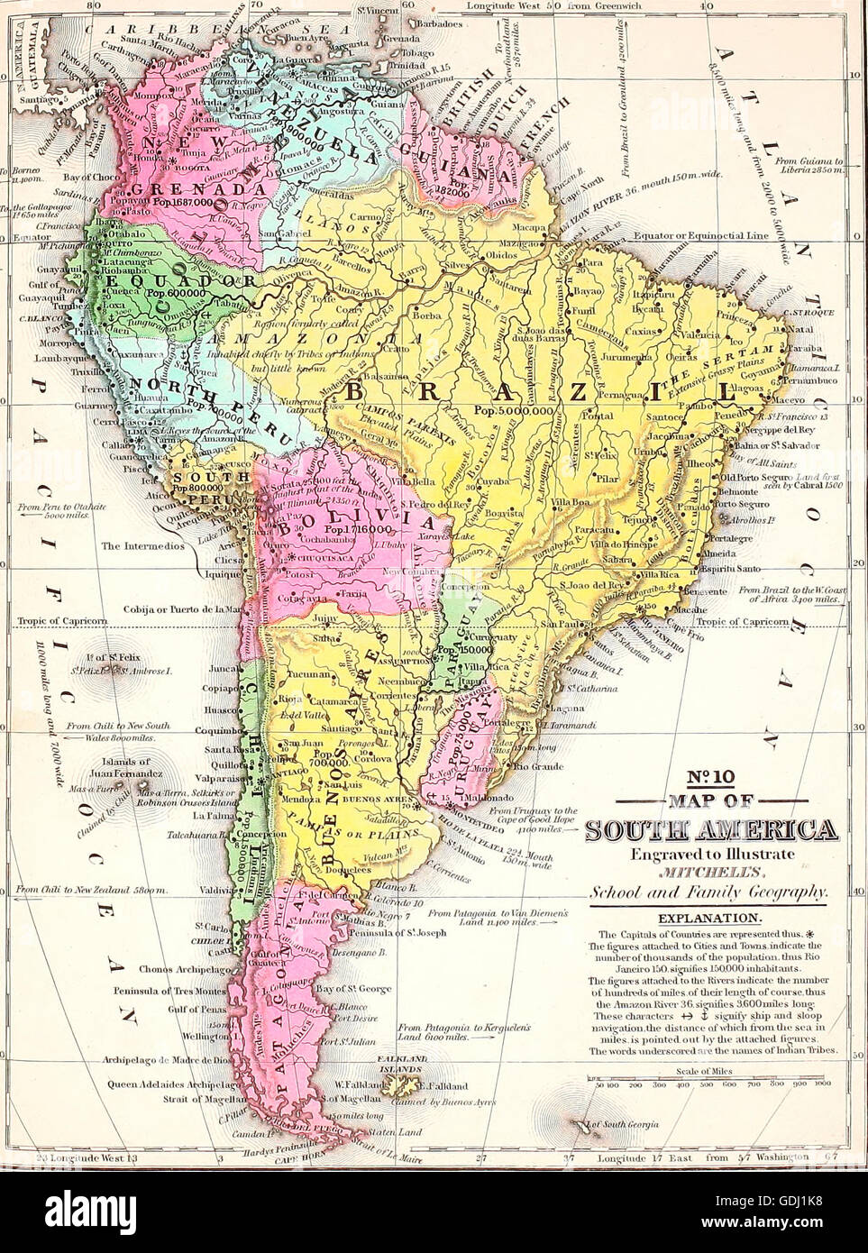 Map of South America, circa 1860 Stock Photohttps://www.alamy.com/image-license-details/?v=1https://www.alamy.com/stock-photo-map-of-south-america-circa-1860-111649196.html
RMGDJ1K8–Map of South America, circa 1860
 1807 Cary Map of South America Stock Photohttps://www.alamy.com/image-license-details/?v=1https://www.alamy.com/stock-photo-1807-cary-map-of-south-america-50539497.html
RMCX67J1–1807 Cary Map of South America
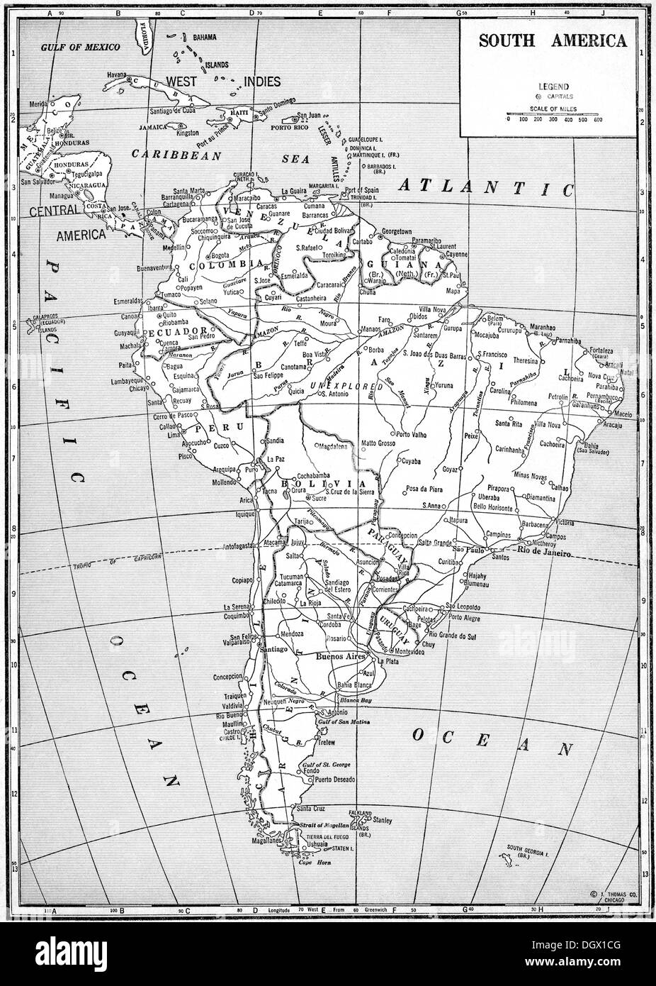 Old map of South America, 1930's Stock Photohttps://www.alamy.com/image-license-details/?v=1https://www.alamy.com/old-map-of-south-america-1930s-image62037488.html
RMDGX1CG–Old map of South America, 1930's
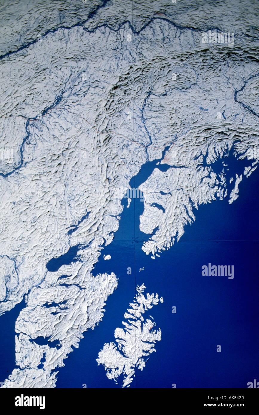 map of south alaska, anchorage, usa Stock Photohttps://www.alamy.com/image-license-details/?v=1https://www.alamy.com/stock-photo-map-of-south-alaska-anchorage-usa-14972638.html
RMAKE42R–map of south alaska, anchorage, usa
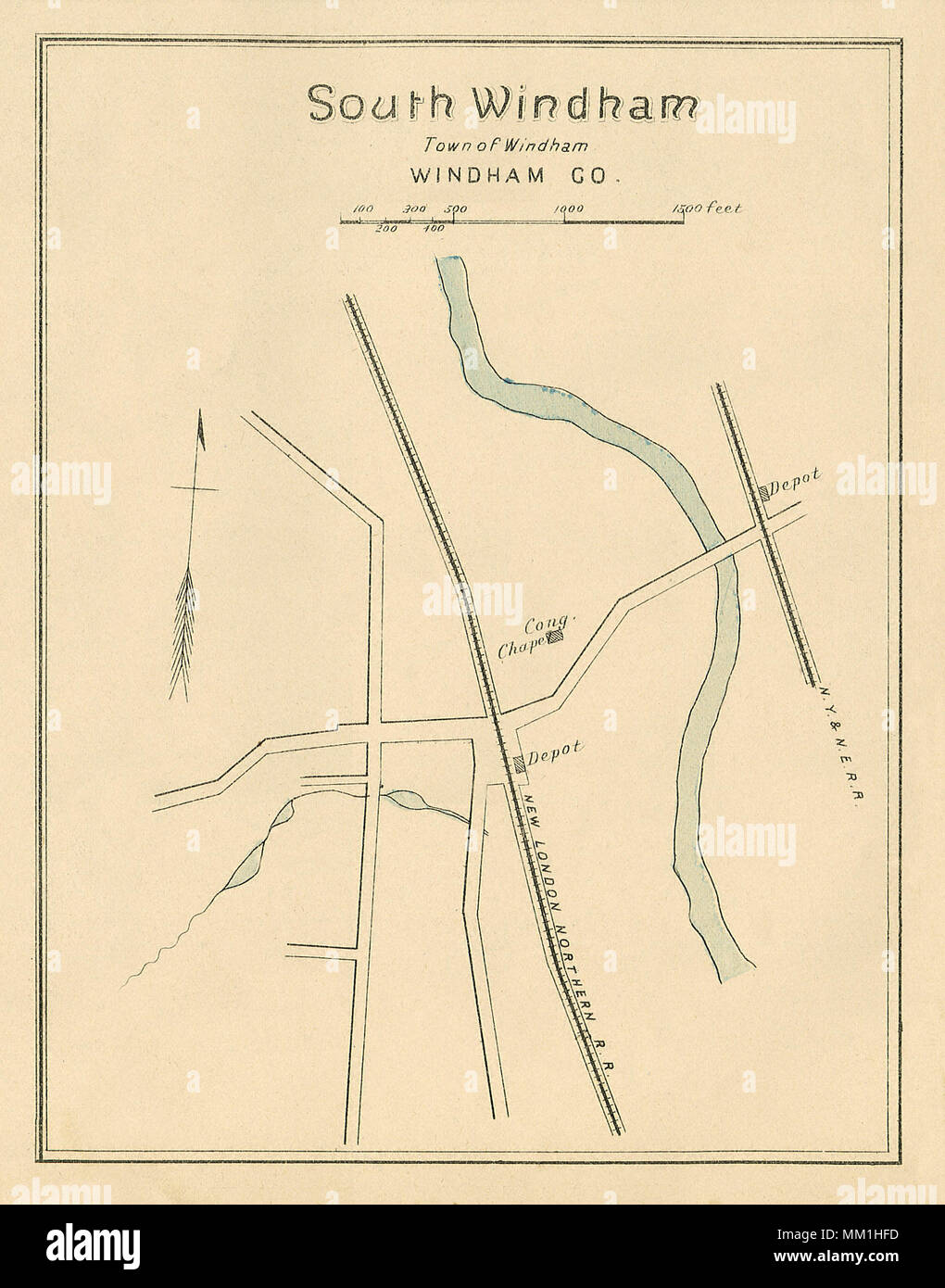 Map of South Windham in Town of Windham. 1893 Stock Photohttps://www.alamy.com/image-license-details/?v=1https://www.alamy.com/map-of-south-windham-in-town-of-windham-1893-image184432513.html
RMMM1HFD–Map of South Windham in Town of Windham. 1893
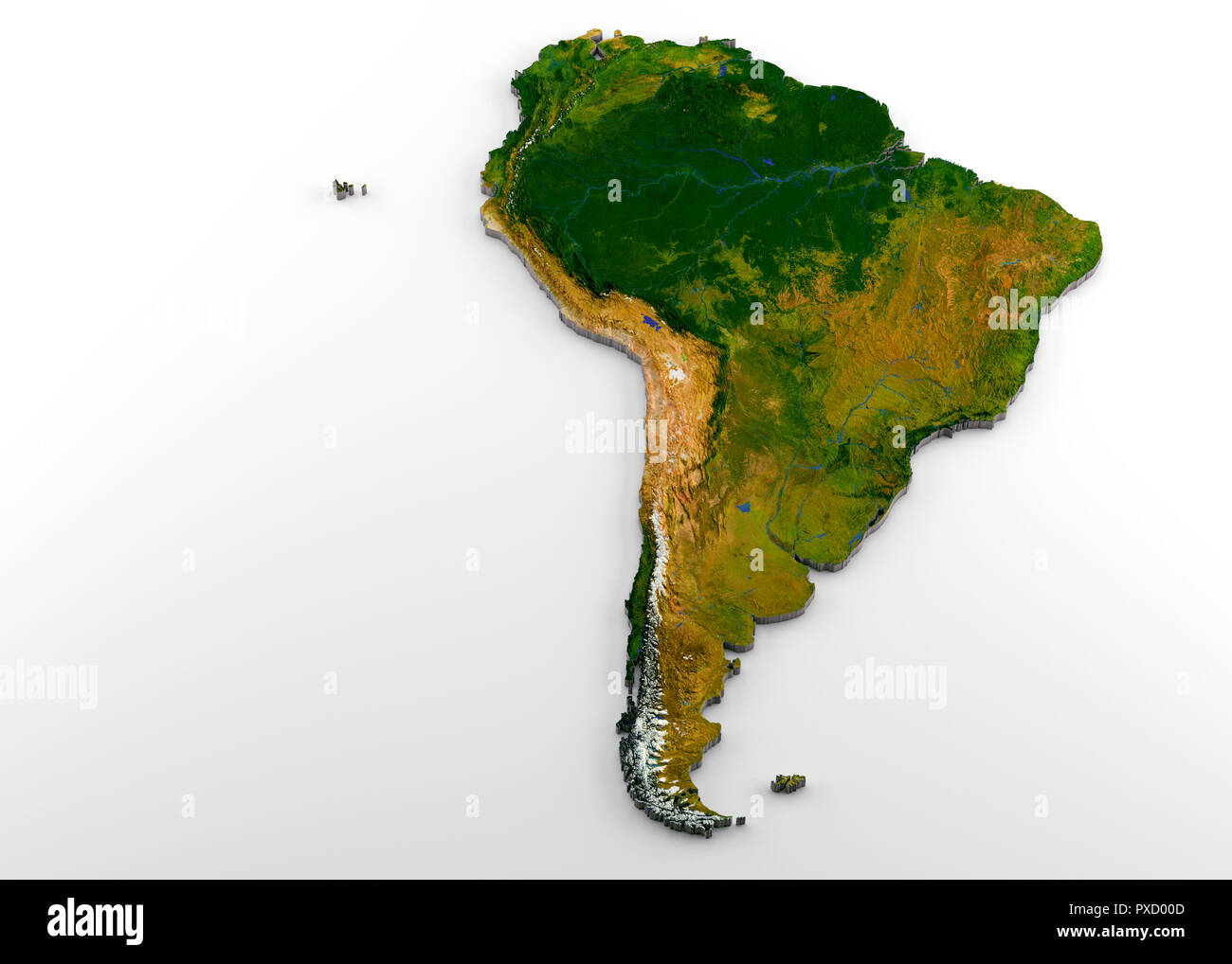 Realistic 3D Extruded Map of South America Stock Photohttps://www.alamy.com/image-license-details/?v=1https://www.alamy.com/realistic-3d-extruded-map-of-south-america-image222790861.html
RFPXD00D–Realistic 3D Extruded Map of South America
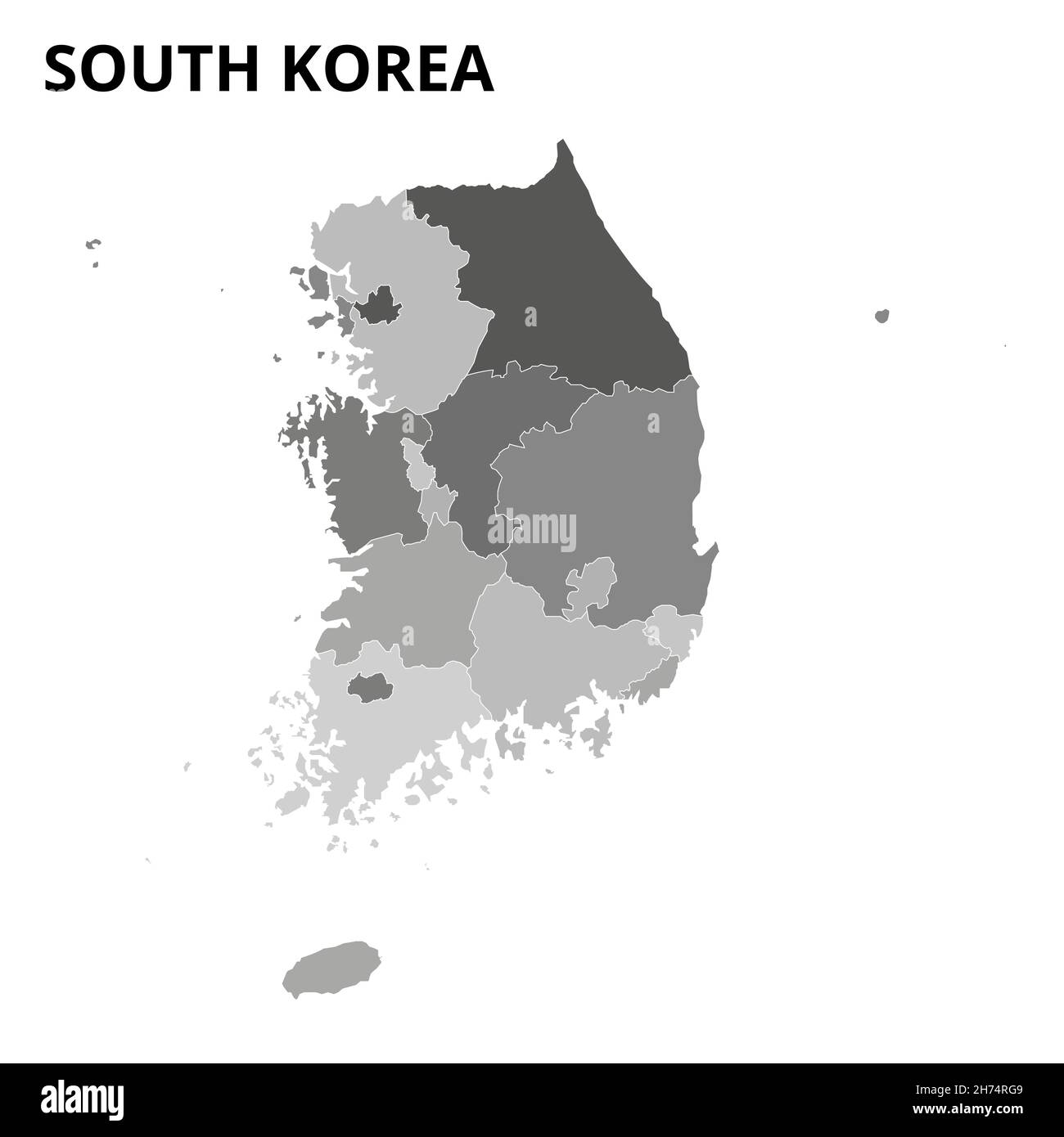 Map of South Korea. South Korea map. South Korea provinces Vector eps 10 Stock Vectorhttps://www.alamy.com/image-license-details/?v=1https://www.alamy.com/map-of-south-korea-south-korea-map-south-korea-provinces-vector-eps-10-image451878457.html
RF2H74RG9–Map of South Korea. South Korea map. South Korea provinces Vector eps 10
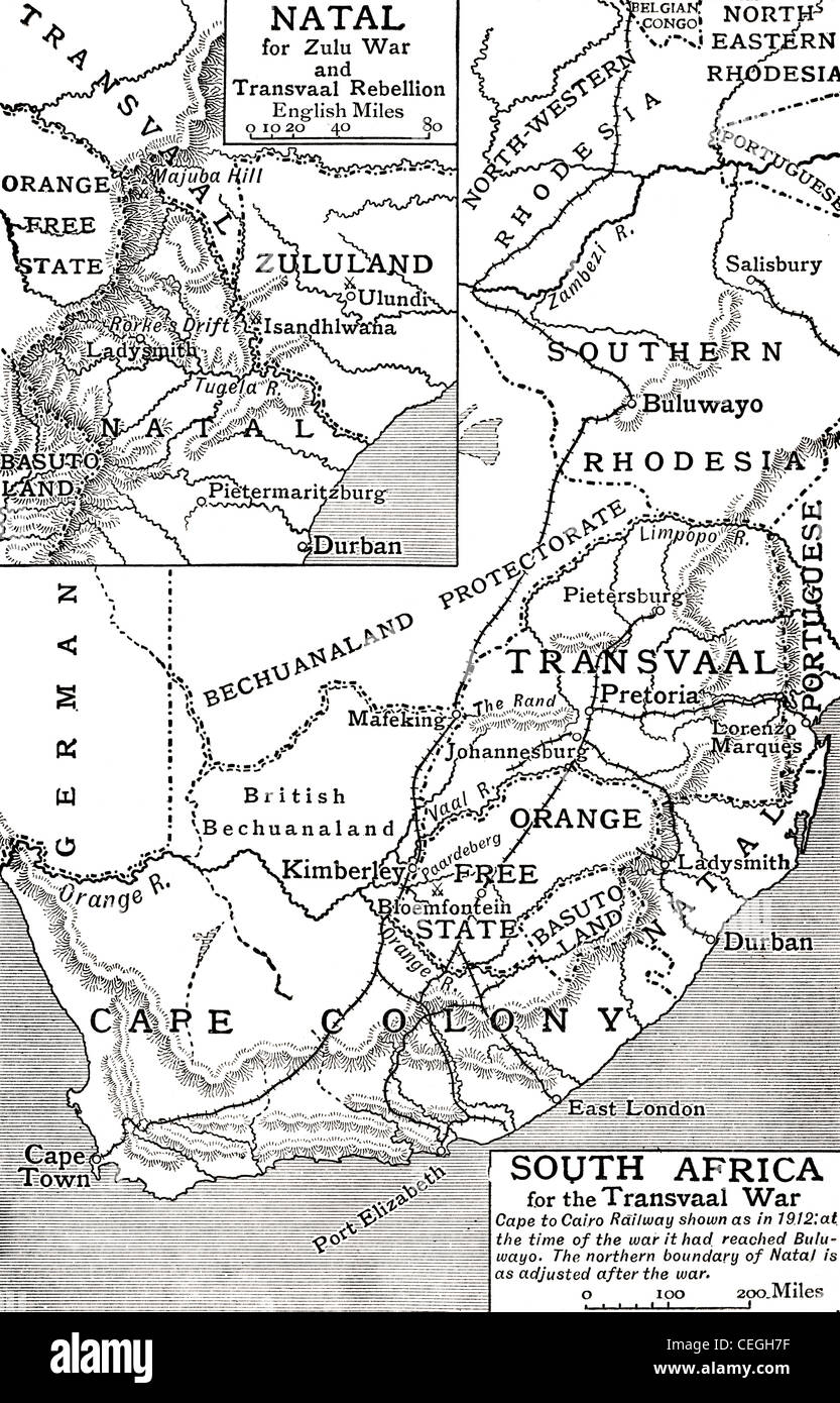 Map of South Africa at the time of the Transvaal War in 1901. From The Story of England, published 1930. Stock Photohttps://www.alamy.com/image-license-details/?v=1https://www.alamy.com/stock-photo-map-of-south-africa-at-the-time-of-the-transvaal-war-in-1901-from-43390691.html
RMCEGH7F–Map of South Africa at the time of the Transvaal War in 1901. From The Story of England, published 1930.
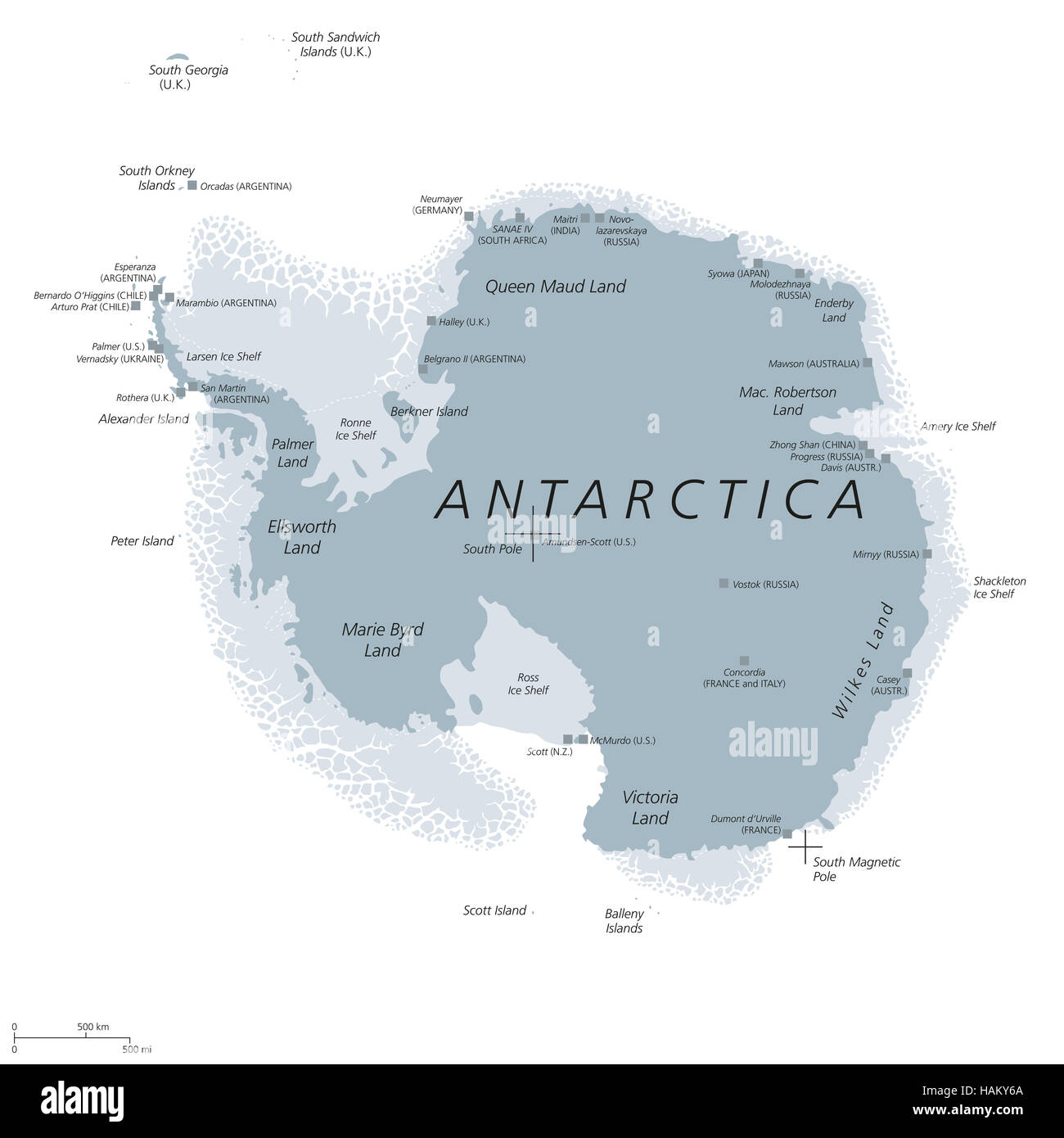 Antarctica political map with Geographic and Magnetic South pole, scientific research stations and ice shelfs. English labeling. Stock Photohttps://www.alamy.com/image-license-details/?v=1https://www.alamy.com/stock-photo-antarctica-political-map-with-geographic-and-magnetic-south-pole-scientific-127057570.html
RFHAKY6A–Antarctica political map with Geographic and Magnetic South pole, scientific research stations and ice shelfs. English labeling.
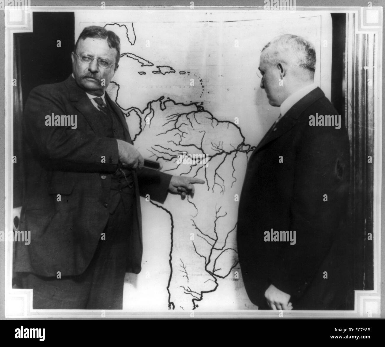 President Roosevelt pointing at a map of South America towards the area explored during the Roosevelt-Rondon Scientific Expedition in Brazil as another man looks on. Theodore Roosevelt (1858 – 1919) was an American politician, author, naturalist, explorer, and historian who served as the 26th President of the United States. Stock Photohttps://www.alamy.com/image-license-details/?v=1https://www.alamy.com/stock-photo-president-roosevelt-pointing-at-a-map-of-south-america-towards-the-76392411.html
RMEC7Y8B–President Roosevelt pointing at a map of South America towards the area explored during the Roosevelt-Rondon Scientific Expedition in Brazil as another man looks on. Theodore Roosevelt (1858 – 1919) was an American politician, author, naturalist, explorer, and historian who served as the 26th President of the United States.
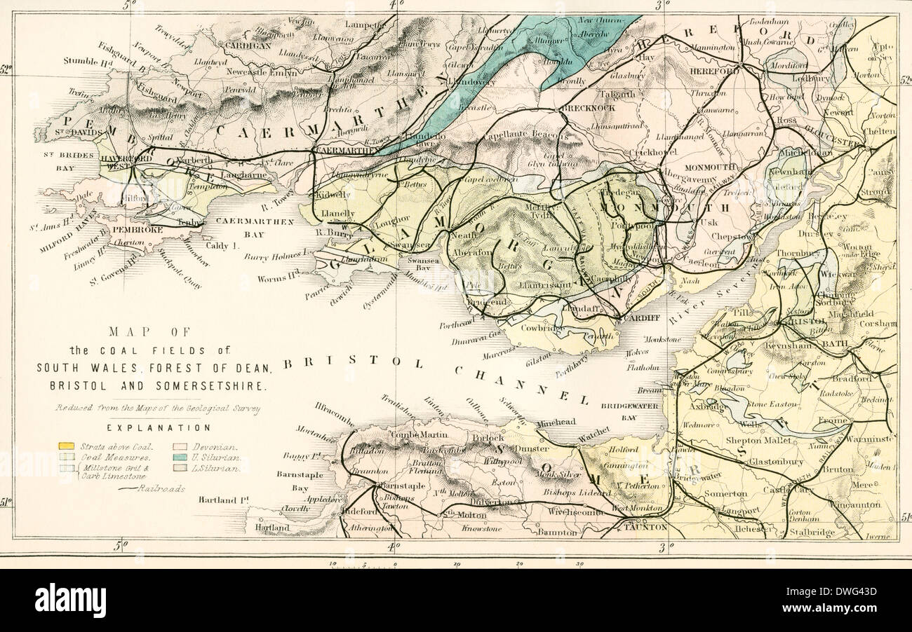 Map showing the coalfields of South Wales, Forest of Dean, Bristol and Somersetshire in the 19th century. Stock Photohttps://www.alamy.com/image-license-details/?v=1https://www.alamy.com/map-showing-the-coalfields-of-south-wales-forest-of-dean-bristol-and-image67351969.html
RMDWG43D–Map showing the coalfields of South Wales, Forest of Dean, Bristol and Somersetshire in the 19th century.
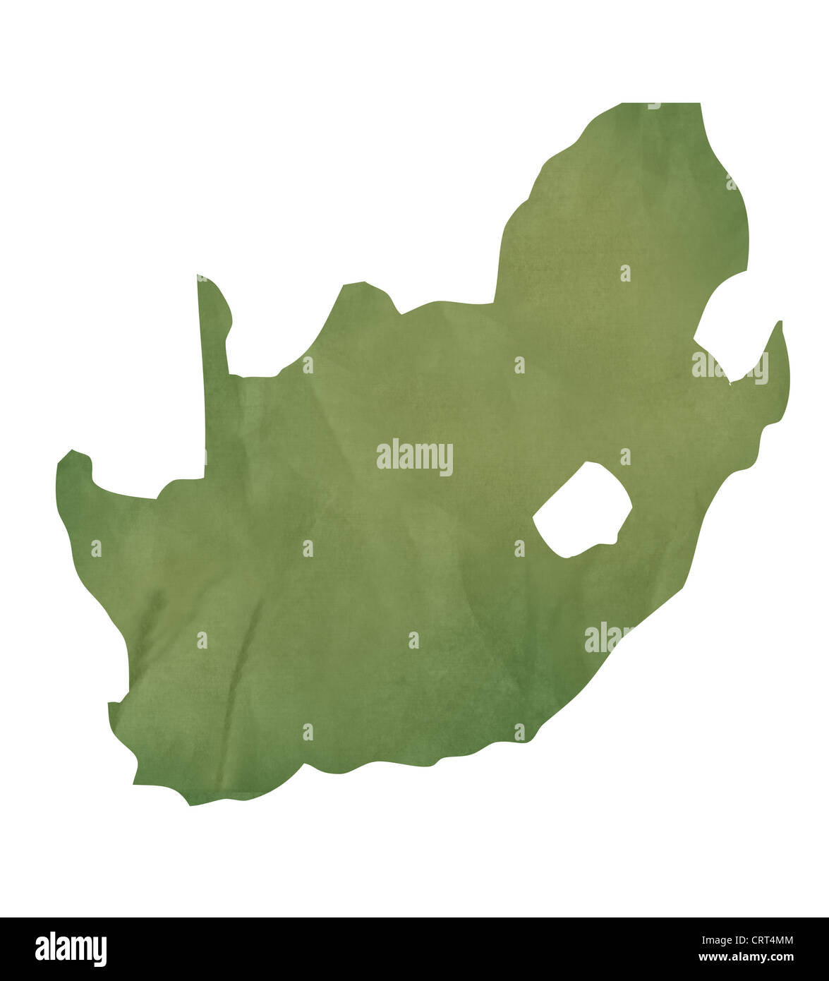 Old green paper map of South Africa isolated on white background Stock Photohttps://www.alamy.com/image-license-details/?v=1https://www.alamy.com/stock-photo-old-green-paper-map-of-south-africa-isolated-on-white-background-49088388.html
RMCRT4MM–Old green paper map of South Africa isolated on white background
 map of south america with borders in gray Stock Vectorhttps://www.alamy.com/image-license-details/?v=1https://www.alamy.com/stock-photo-map-of-south-america-with-borders-in-gray-146900888.html
RFJEYWG8–map of south america with borders in gray
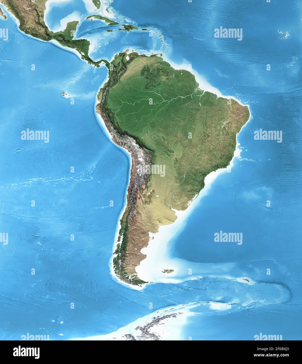 Physical map of South America, with high resolution details. Flattened satellite view of Planet Earth and its geography - Elements furnished by NASA Stock Photohttps://www.alamy.com/image-license-details/?v=1https://www.alamy.com/physical-map-of-south-america-with-high-resolution-details-flattened-satellite-view-of-planet-earth-and-its-geography-elements-furnished-by-nasa-image416999131.html
RF2F6BXJ3–Physical map of South America, with high resolution details. Flattened satellite view of Planet Earth and its geography - Elements furnished by NASA
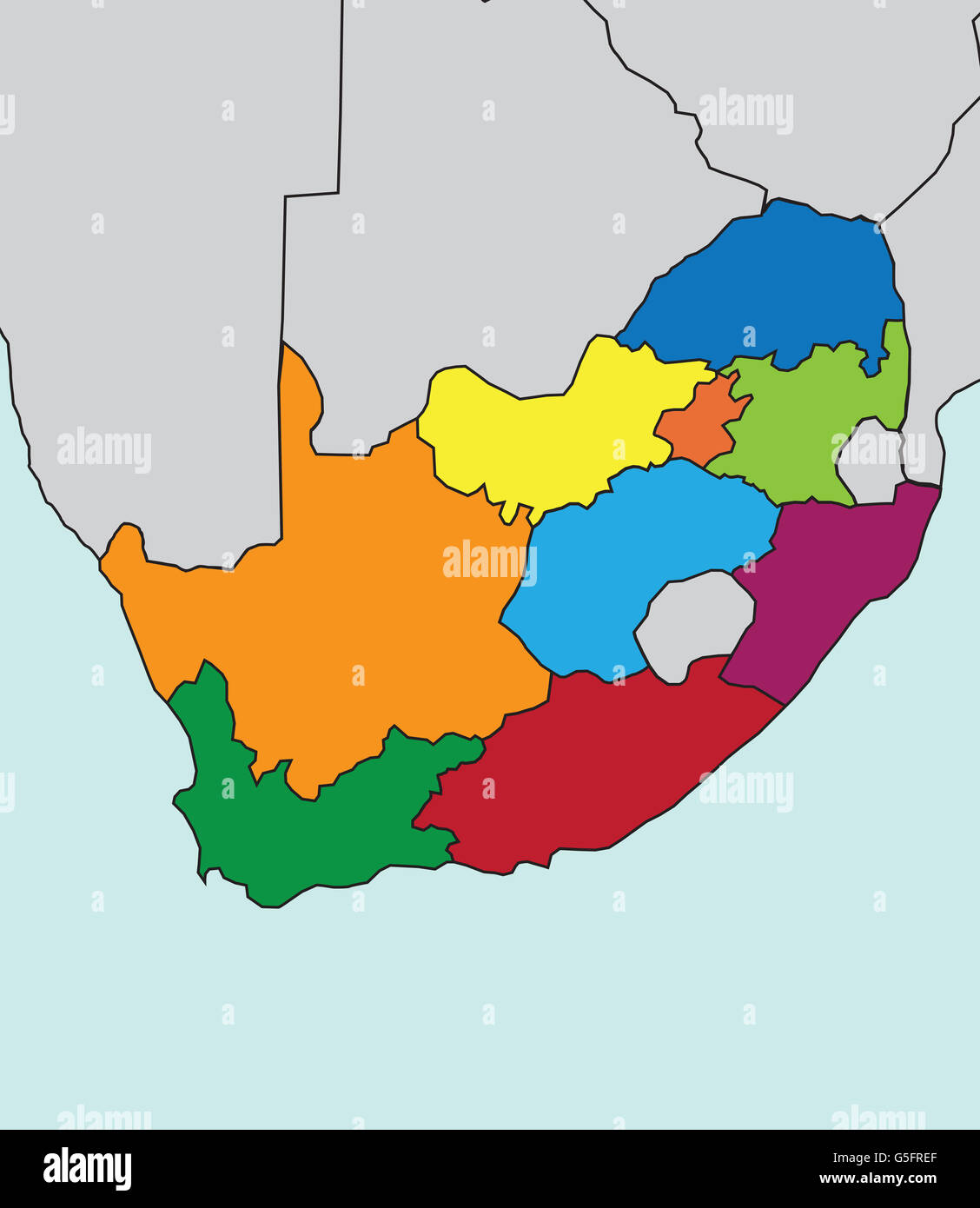 Map of South Africa Stock Photohttps://www.alamy.com/image-license-details/?v=1https://www.alamy.com/stock-photo-map-of-south-africa-106683207.html
RMG5FREF–Map of South Africa
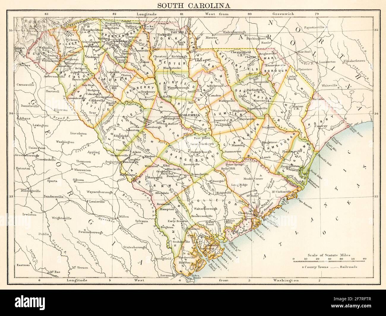 Map of South Carolina, 1870s. Color lithograph Stock Photohttps://www.alamy.com/image-license-details/?v=1https://www.alamy.com/map-of-south-carolina-1870s-color-lithograph-image417868775.html
RM2F7RFTR–Map of South Carolina, 1870s. Color lithograph
